What is recorded here
Fairy fort / earthen ringfort in Srananagh is a fairy fort or earthen ringfort in Srananagh, County Sligo, Ireland. A roughly circular area twenty metres across has a levelled bank and ditch, but a road cuts across its north side. High grass, forest trenches and coniferous trees now cover the ground, hiding the remains from view.
In low-lying poorly drained pasture. A roughly circular area (diam. c. 20m) defined by a levelled bank and fosse, truncated NNW-NNE by a road, is visible as a cropmark in an aerial photograph (GSIAP, G 291-0). This possible rath is levelled and is not visible at ground level. The area is overgrown with high grass, cut by forest trenches and planted with coniferous trees.
The above description is derived from the published 'Archaeological Inventory of County Sligo' compiled by Ursula Egan, Elizabeth Byrne, Mary Sleeman with Sheila Ronan and Connie Murphy (Dublin Stationery Office, 2005).
Date of upload: 18 January 2008
The monument record does not grant public access. Check the route and ask the landowner before entering private land.
- What survives
- Recorded monument
Places near here
 Hut site in ArdleebegHut site · 595 yd
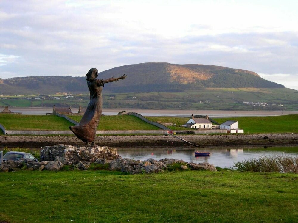 Indicated (1838).Fairy fort / earthen ringfort · 785 yd
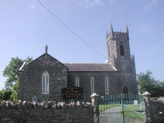 Ballysumaghan Churchchurch/chapel · 1031 yd
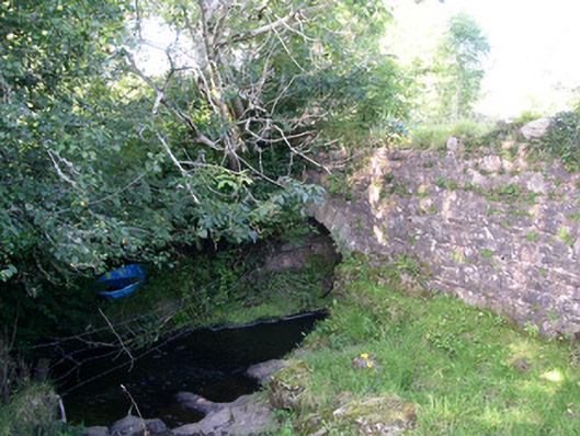 Lurgan Bridgebridge · 1429 yd
 Giants GraveArchaeological place · 1.5 mi
 CastleCastle, motte · 1.6 mi
 Coola Castle (in Ruins)Bawn · 1.8 mi
 Field MapleField Maple · 2.1 mi
 European ashEuropean ash · 2.7 mi
 James MorrisonMemorial · 2.9 mi
 Riverstown Folk ParkHeritage attraction · 2.9 mi
 Battle of Collooneybattle · 3.7 mi