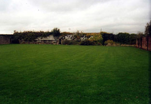
What is recorded here
Two quadrangular walled gardens, built c.1835. Western area has rubble stone boundary to west, lean-to glasshouses to north, red brick wall to east. Two-storey buildings to south end of area, comprising seven-bay block to south-west and south, and entrance gateway, three-bay and two-bay blocks to south-east. Buildings have hipped artificial slate roofs and rubble stone walls, with one-over-one pane timber sliding sash windows. Grassed area to interior of walled garden. Yard entered through double-leaf wrought-iron gates. Eastern area has grassed interior, rubble stone boundary walls to north and south, three-bay two-storey house to north-east and rear wall of outbuilding of stable complex to east. Front wall of house forms boundary of walled garden, rest of house being outside. Pitched slate roof with rendered chimneystacks and cast-iron rainwater goods, with decorative carved timber bargeboards to gables and over first floor windows. Rendered walls. Square-headed two-over-two pane sliding sash windows and square-headed doorway with paned overlight. Hipped-roof conservatory to east end of front of house.
These two walled gardens form once formed an integral part of the economy of Kilshane House. The brick dividing wall is typical of such gardens and the various buildings around the perimeter add interest to the complex.
This does not grant access. Most recorded buildings are privately owned; view them only from public ground unless the owner allows entry.
Places near here
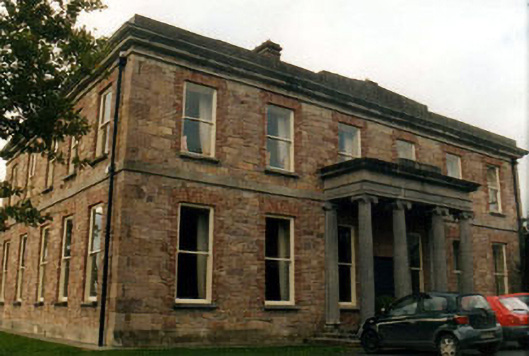 Kilshanecountry house · 122 yd
 Enclosure in SpringhouseEnclosure · 275 yd
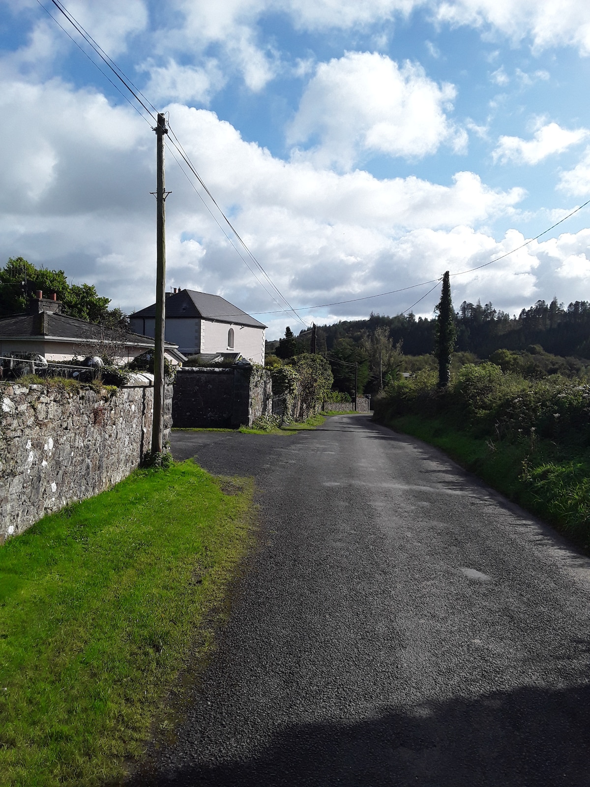 RathfaunEnclosure · 390 yd
 Kilshane Churchchurch/chapel · 902 yd
 IndicatedBawn · 1008 yd
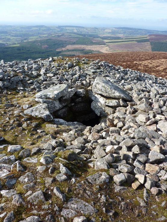 Site of Seefin CastleCastle, unclassified · 1064 yd
 European ashEuropean ash · 1.3 mi
 Bansha ForestForest · 1.5 mi
 I.R.A. 3rd. Tipperary Brigade MemorialMemorial · 2.1 mi
 It's a long way to TippereryHeritage attraction · 2.6 mi
 The Maid of ErinMemorial · 2.8 mi
 The RockViewpoint · 3.0 mi
Other information
Photo: National Inventory of Architectural Heritage · Website use allowed for educational or private purposes with source credit