What is recorded here
Indicated is a ruined fairy fort in County Mayo, its earthen bank broken by farm animals and topped with trees. The circle measures thirty-one metres north to south and twenty-eight metres east to west, holding a levelled pasture on a south-east facing slope. It is no longer a complete fort, but the broken bank and hidden circle still mark the place where people once drew a line around their own world.
In pasture, on SE-facing slope. Circular area (31m N-S; 28.5m E-W), enclosed by tree-topped earthen bank (H 1m), levelled NE to S. Numerous breaks in bank caused by farm animals.
The above description has been derived from D. Lavelle (compiler), An Archaeological Survey of Ballinrobe and District including Lough Mask and Lough Carra. Lough Mask and Lough Carra Tourist Development Association (1994), No. 210.
Date of upload: 23 January 2013
The monument record does not grant public access. Check the route and ask the landowner before entering private land.
- What survives
- Recorded monument
Places near here
 IndicatedFairy fort / earthen ringfort · 243 yd
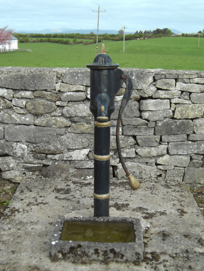 water pumpwater pump · 318 yd
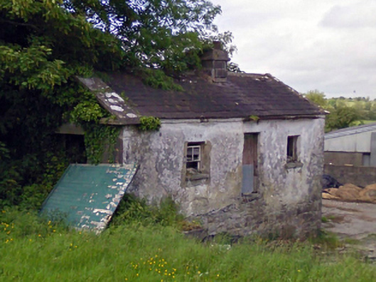 Mount Pleasantgate lodge · 1215 yd
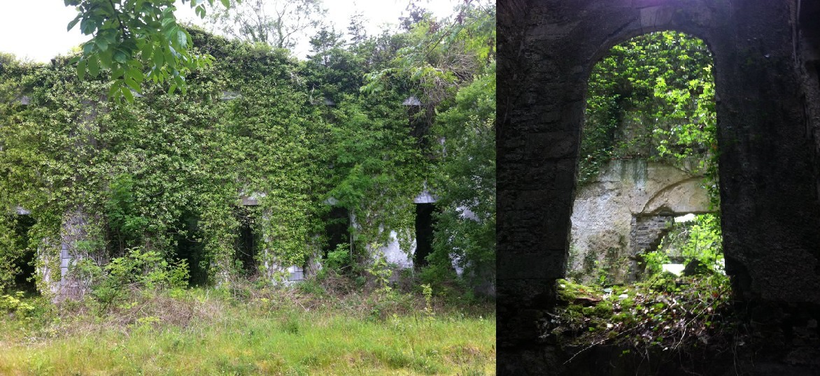 Enclosure in Towerhill DemesneEnclosure · 1.3 mi
 Castle LucasCastle · 1.4 mi
 Doonamona CastleCastle · 2.2 mi
 Cerberus, from Thomastown HouseMemorial · 2.7 mi
 Moore Hall Forest TrailWalking route · 3.2 mi
 Moore Hall ForestForest · 3.4 mi
 Connors IslandIslet · 3.5 mi
 Creevagh IslandIslet · 3.5 mi
 Kiltoom PointHeadland · 3.7 mi