What is recorded here
On a S-facing slope in marshy pastureland. Poorly preserved subcircular rath (50m N-S; 42m
E-W) defined by a bank from NE through S to W; elsewhere a scarp forms the enclosing element. A vegetation band indicates the line of an external fosse. A number of modern field walls radiate from the monument.
Compiled by: Galway Archaeological Survey, UCG
Date of upload: 13 April 2018
The monument record does not grant public access. Check the route and ask the landowner before entering private land.
- What survives
- Recorded monument
Places near here
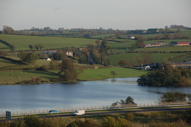 Crannog in Ballinlough (leitrim By.)Crannog · 444 yd
 AltarAltar · 1521 yd
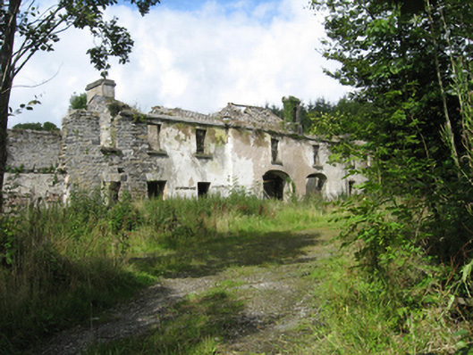 Marble Hilloutbuilding · 1.1 mi
 Country house in MarblehillCountry house · 1.1 mi
 Coolfin Castle (in ruins)Castle, tower house · 3.9 mi
 TullymoreMountain / peak · 4.2 mi
 Site of CastleCastle, unclassified · 4.5 mi
 Maguire SistersMemorial · 5.3 mi
 Oak WoodForest · 5.4 mi
 Bog WoodForest · 5.6 mi
 Friar's IslandIslet · 6.7 mi
 Abbey IslandIslet · 6.7 mi
Other information
Photo: Credit not shown in the picture search · Rights wording not checked; contact us if this picture should be removed