What is recorded here
Barrow is a barrow (unclassified) in Slane More, County Westmeath, Ireland. The 2012 survey described a roughly circular monument, 25 to 30 metres in diameter, on ground sloping down to the southwest, which was greatly damaged and densely overgrown. Its northeast side was removed during road widening in the early 1980s, leaving a stony bank that was 5.2 metres wide on the east side and 7.3 metres wide on the more massive north side. The centre is irregularly hollowed out, and the site’s difficult classification was noted alongside five other barrows arranged in a linear formation extending from the northeast to the southwest.
Surveyed in 2012 and described by McGuinness (2012, 38-9) as following: ‘Greatly damaged and densely overgrown monument on ground sloping down to SW, roughly circular (Diam. 25-30m) in plan with NE side removed during road-widening c. early 1980s (pers. comm. Tommy Cassidy of Slane More). Monument is raised above surrounding ground, though its centre is irregularly hollowed out to varying depths (due in part to cattle), and is surrounded by a bank in varying states of preservation. At E side, the clearly defined bank is 5.2m in width; at N side it is 7.3m in width and more massive. At N side bank is raised 1m above external ground level and 1.3m above deepest part of hollowed. area inside. N and E stretches of bank end with a sheer cut just inside modern field boundary, clearly showing where the monument was damaged by road-widening. The bank is very stony, most clearly visible on N side where cattle have worn away the sod; there are many stones in the hollowed interior, especially at the cattle-worn N side, although some of these may have slipped from the bank. It is also to be wondered whether the varying levels of interior of monument might relate to disturbances from time of road-widening project. In its current state, monument is difficult to classify, although given its appearance, a raised area apparently surrounded by a stony bank, it is difficult to accept its classification as a barrow in the RMP. If a burial mound at all, it might be a hollowed out cairn or mound-barrow. In support of its interpretation as a burial monument, there are two barrows c. 50m (WM018-080----) and c. 100m (WM018-079----) uphill in field across road to NE, and on hilltop c. 150m to NE are three further barrows (WM018-078----). All six sites form an approximately linear arrangement from NE to SW'.
Compiled by: Caimin O'Brien based on details provided by David McGuinness.
Date of upload: 25 April 2016
The monument record does not grant public access. Check the route and ask the landowner before entering private land.
- What survives
- Recorded monument
Places near here
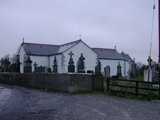 Catholic Church of the Assumptionchurch/chapel · 1222 yd
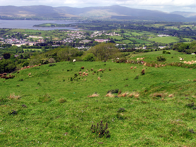 Partially hachuredFairy fort / earthen ringfort · 1727 yd
 OutlinedFairy fort / earthen ringfort · 1754 yd
 Strand Househouse · 1.3 mi
 WestmeathVisitor information · 1.6 mi
 IndicatedCastle, motte · 1.6 mi
 Nugent's CastleCastle · 1.7 mi
 Carrickphilbin IslandIslet · 1.8 mi
 Srudarra IslandIslet · 2.2 mi
 Ancient Ring FortWood · 4.1 mi
 Baronstown ForestWood · 4.8 mi
 Abbeyshrule AbbeyRuins · 9.4 mi