What is recorded here
Situated on a gentle W-facing slope in a small basin with an E-W stream c. 120m to the N. It was described in 1979 as a rectangular area (dims. 24m N-S; 23m E-W) defined by flat-bottomed moats (Wth 2m; D 2-3m) (SMR file). It is evident in 1988 as a rectangular grass-covered area (dims. 32m N-S; 30m E-W) where the moats are still visible as slight depressions. (Barry 1977, 227, WX 110)
The above description is derived from the published 'Archaeological Inventory of County Wexford' (Dublin: Stationery Office, 1996). In certain instances the entries have been revised and updated in the light of recent research.
Compiled by: Michael Moore
Date of upload/revision: 14 September, 2012
The monument record does not grant public access. Check the route and ask the landowner before entering private land.
- What survives
- Recorded monument
Places near here
 Creacon Housefarm house · 781 yd
 Embanked enclosureFairy fort / earthen ringfort · 804 yd
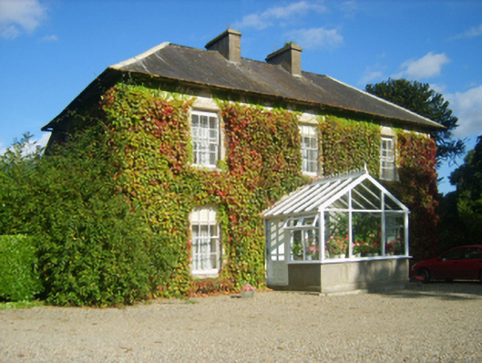 Hillview Housefarm house · 1176 yd
 Furnace in CamlinFurnace · 1287 yd
 Camlin HillMountain / peak · 1.1 mi
 Devon whitebeamDevon whitebeam · 1.3 mi
 site of CastleCastle, unclassified · 1.3 mi
 Partridge HillMountain / peak · 1.3 mi
 Kelly's WoodForest · 1.4 mi
 Armaghs Castle (in Ruins)Castle, tower house · 1.7 mi
 Kennedy HomesteadHeritage attraction · 2.0 mi
 Crutched FriarsMemorial · 2.4 mi