What is recorded here
Marked as a circular embanked enclosure (ext. diam. c. 45m) only on the 1839 ed. of the OS 6-inch map, and situated at the head of a SE-NW valley. It is also just down from a col that is c. 150m to the SE between slight hills c. 350m to the NE and c. 300m to the SW. The bank of an enclosure (int. diam. 25m) is visible as a band of yellow clay (Wth 4.5-6m) when the area is ploughed.
The above description is derived from the published 'Archaeological Inventory of County Wexford' (Dublin: Stationery Office, 1996). In certain instances the entries have been revised and updated in the light of recent research.
Compiled by: Michael Moore
Date of upload/revision: 14 September, 2012
The monument record does not grant public access. Check the route and ask the landowner before entering private land.
- What survives
- Recorded monument
Places near here
 Embanked enclosureFairy fort / earthen ringfort · 313 yd
 Creacon Housefarm house · 1033 yd
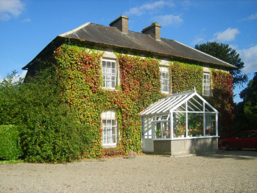 Hillview Housefarm house · 1171 yd
 Furnace in CamlinFurnace · 1512 yd
 Devon whitebeamDevon whitebeam · 1741 yd
 SlievecoiltiaMountain / peak · 1.1 mi
 site of CastleCastle, unclassified · 1.1 mi
 Partridge HillMountain / peak · 1.2 mi
 Kelly's WoodForest · 1.7 mi
 Armaghs Castle (in Ruins)Castle, tower house · 1.8 mi
 Kennedy HomesteadHeritage attraction · 1.9 mi
 The Croppy GroveMemorial · 1.9 mi