What is recorded here
Sladran holds a leaning stone, not much taller than a person, set in boggy ground on the north-west slopes of Newton Hill. It tilts south like something that stopped struggling, and its broad shadow would have stretched across wet grass at evening. Perhaps people walked past it often enough to remember it without naming it, or perhaps it marked a boundary no longer visible. Either way, it still stands where the land softens, patient and slightly crooked.
A standing stone, leaning to S, and 1.7m high × 1.2m maximum width; NNE-SSW. Situated in boggy terrain on the NW slopes of Newton Hill.
The above description was published in the 'Archaeological Survey of County Donegal. A description of the field antiquities of the County from the Mesolithic Period to the 17th century.' Compiled by: Brian Lacey with Eamon Cody, Claire Cotter, Judy Cuppage, Noel Dunne, Vincent Hurley, Celie O'Rahilly, Paul Walsh and Seán Ó Nualláin (Lifford: Donegal County Council, 1983).
Date of upload/revision: 22 May 2009
Likely dating to the Bronze Age, this standing stone may have had ceremonial or territorial significance. Its orientation and location on a prominent slope suggest possible ritual use or alignment with landscape features.
The monument record does not grant public access. Check the route and ask the landowner before entering private land.
- What survives
- Recorded monument
Places near here
 Ballyannan Portal TombPortal tomb · 1.3 mi
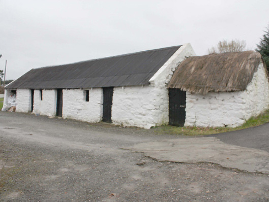 outbuildingoutbuilding · 1.5 mi
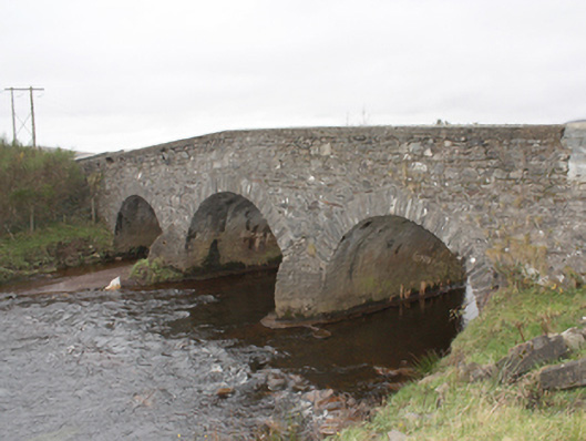 Kinnagoe Bridgebridge · 1.8 mi
 Kinnagoe Stone RingfortFairy fort / stone ringfort · 2.1 mi
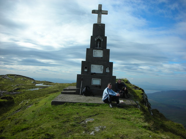 BulbinMountain / peak · 2.7 mi
 Stragill BeachBeach / strand · 2.8 mi
 O'Doherty's KeepCastle · 3.3 mi
 Neds Point FortFort · 3.4 mi
 Slieve MainMountain / peak · 3.4 mi
 Glendowen craft shopHeritage attraction · 3.7 mi
 Lady's Bay, BuncranaOfficial bathing water · 3.9 mi
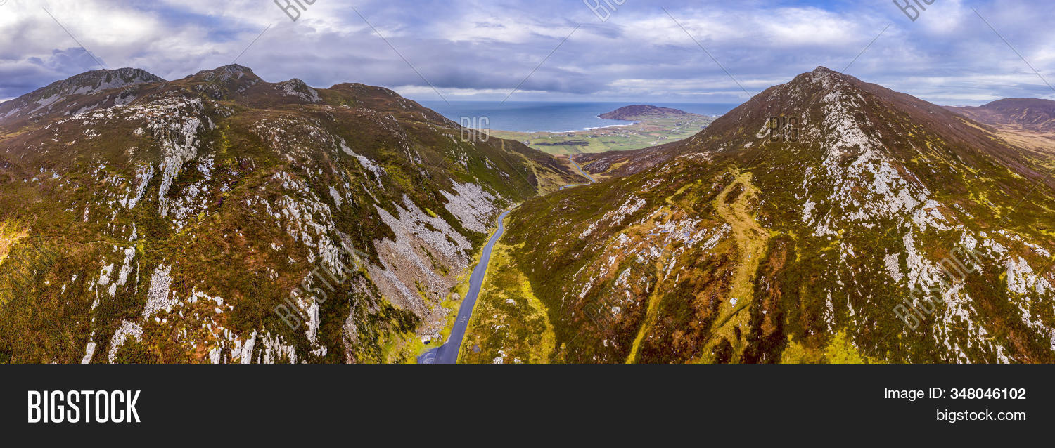 Gap of MarmoreHeritage attraction · 4.0 mi