What is recorded here
Fairy fort in Skreeny, County Leitrim: a 29 m circular grassy ring with a steep earthen bank and shallow outer ditch on a rise above the Glenfarne valley. The entrance has disappeared under grass and habit, while cattle still use the middle as a paddock. People may have lived there before becoming a field, but the earth keeps its shape like a room nobody abandoned.
Situated on a rise in an undulating, low-lying landscape at the W end of the E-W Glenfarne valley, with a small NNE-SSW stream c. 50-85m distant SW-NW. This is a circular grass-covered area (diam. 29m) defined by an overgrown, steep-sided and round-topped earthen bank (Wth 2.15m; int. H 0.4m; ext. H 0.75m) with an outer fosse (Wth of base 1.6m; D 0.15). The original entrance is not identified and It is now used as a paddock.
The above description is derived from 'The Archaeological Inventory of County Leitrim' compiled by Michael J. Moore (Dublin: Stationery Office, 2003). In certain instances the entries have been revised and updated in the light of recent research.
Date of upload: 23 September 2008
The monument record does not grant public access. Check the route and ask the landowner before entering private land.
- What survives
- Recorded monument
Places near here
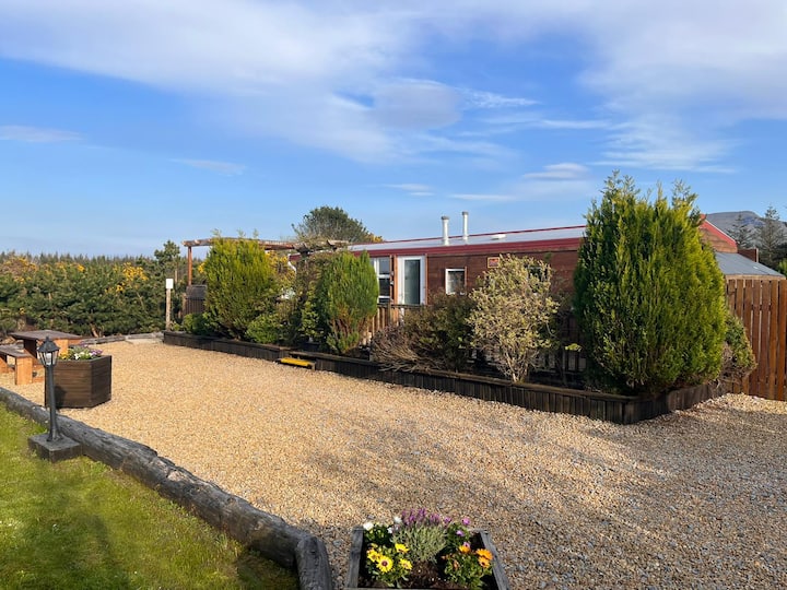 Enclosure in Skreeny (drumahaire By.)Enclosure · 494 yd
 IndicatedFairy fort / earthen ringfort · 770 yd
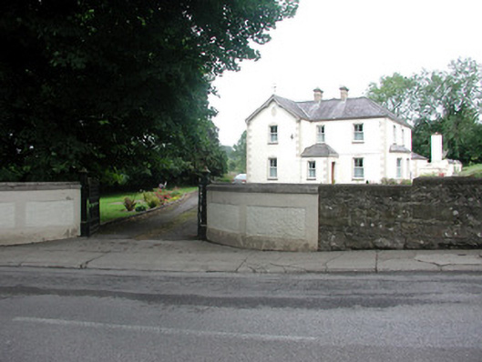 presbytery/parochial/curate's housepresbytery/parochial/curate's house · 960 yd
 Saint Clare's Catholic Churchchurch/chapel · 984 yd
 Kilroosk RockNamed rock · 1.8 mi
 Giants RockNamed rock · 1.8 mi
 Ashisland WoodForest · 2.3 mi
 The Giants GraveArchaeological place · 2.4 mi
 Longhill WoodForest · 2.6 mi
 Saddle HillMountain / peak · 2.9 mi
 BenboMountain / peak · 3.1 mi
 Castle CarCastle · 3.3 mi