What is recorded here
Castle, ringwork in Shevry stands on a SE-facing hill slope in County Tipperary, its rectangular earthen mound still rising two metres above the pasture. The SW side and NW corner remain steep, while quarrying has bitten into the centre and erased much of what the mound once held. No outer ditch or defence survives to mark the boundary, leaving the castle reduced to a broken shape in open grass. What is lost is not small: the mound still carries the weight of the hands that built it and the life that moved around it.
Situated on a break in the SE-facing lower slope of a hill in undulating pasture. A roughly rectangular earthen mound (H 2.15m; base dims. 21m x 15.5m; top dims. 15.5m x 10.3m) which tapers towards the NE side with a deep central depression (D 1.23m). The mound is fairly steep-sided, particularly along the SW side and at the NW corner. It is badly disturbed by quarrying in the centre. No outer fosse or defences visible.
The above description is derived from 'The Archaeological Inventory of County Tipperary. Vol. 1 - North Tipperary' compiled by Jean Farrelly and Caimin O'Brien (Dublin: Stationery Office, 2002). In certain instances the entries have been revised and updated in the light of recent research.
Date of upload/revision: 22 September 2008
The monument record does not grant public access. Check the route and ask the landowner before entering private land.
- What survives
- Recorded monument
Places near here
 Site of Cashlauncreen CastleCastle, tower house · 1258 yd
 Wedge tomb in Knockcurraghbola CommonsWedge tomb · 1.3 mi
 Templeougher (site of)Church · 1.5 mi
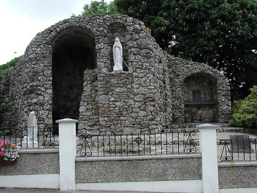 shrine/oratory/grottoshrine/oratory/grotto · 1.5 mi
 Catholic Church of the Sacred Heartchurch/chapel · 1.6 mi
 Moher HillMountain / peak · 2.0 mi
 KnockmaroeMountain / peak · 2.2 mi
 Drumbane CastleCastle · 4.0 mi
 Drum WoodWood · 5.0 mi
 Killavalla WoodForest · 7.5 mi
 Silvermines ViewpointViewpoint · 9.9 mi
 Our Lady Assumed into HeavenMemorial · 11 mi