What is recorded here
Indicated is a circular earthen fort in Kerry, with a wide bank and two standing stones inside. It sits on a sloping pasture, exposing its south and east sides to sunlight. The broken entrance and preserved arcs suggest people lived there, marked the land, and left a shape still visible beneath grass and sky.
In pasture, on a SE-facing slope. A circular area (diam. 30m) defined by an earthen bank (Wth 5.4m; int. H 0.6m; ext. H 1.8m), best preserved along the S arc and with stone facing on its internal face along the SW arc. A break at SSE, which is blocked by a stone wall, may indicate the entrance. The interior slopes down gently to the SE and there are two standing stones (KE067-101001-, KE067-101002-) in the SE quadrant.
Compiled by: Elizabeth Byrne, Ursula Egan and Sheila Ronan, Archaeological Survey Unit, University College, Cork.
Date of upload: 31 January 2011
The monument record does not grant public access. Check the route and ask the landowner before entering private land.
- What survives
- Recorded monument
Places near here
 Sheheree Bog Nature ReserveNature reserve · 687 yd
 IndicatedFairy fort / earthen ringfort · 720 yd
 Fairy fort / earthen ringfort in FaghbaneFairy fort / earthen ringfort · 746 yd
 Religious houseReligious house, Franciscan friars · 889 yd
 Flesk CastleCastle · 1307 yd
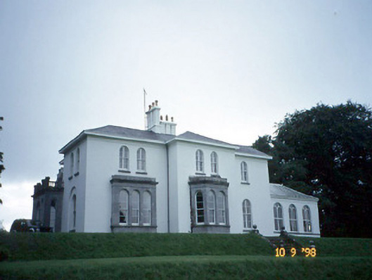 Coolclogher Housecountry house · 1559 yd
 The Blue PoolGallery · 1.2 mi
 McCarthy Mor CastleCastle · 1.2 mi
 Lissivigeen Stone CircleHeritage attraction · 1.3 mi
 Blue Pool Nature ReserveWood · 1.3 mi
 Mass RockNamed rock · 1.4 mi
 Castlelough BayBay · 1.6 mi