What is recorded here
Indicated is a possible fairy fort in County Kerry, Ireland, marked as a roughly oval enclosure on 1846 and 1893 maps but surviving only as a partial earthen arc hidden by bushes. The missing southern section may have collapsed, been reused for farm work, or simply dissolved into the level pasture. Whatever vanished, the remaining bank still traces a boundary large enough to exclude people, animals, or fate.
In level pasture, on top of a hillock. This possible rath is indicated as a roughly oval enclosure (c. 80m NW-SE; c. 70m NE-SW) on the 1846 OS 6-inch map and as a roughly oval enclosure (c. 70m NW-SE; c. 60m NE-SW) on the 1893-4 OS 6-inch map. It is evident as an arc (C 56m WNW-NNE) of earthen bank (Wth 2.1m; int. H 0.8m; ext. H 2.1m) with a slight inward curve at NW and partially obscured by bushes. Traces of a stone wall are evident on top of the bank at N. A depression (c. 8m E-W; c. 6m N-S; D c. 0.3m) was noted near the internal face of the bank at N. An underground water pipe and reservoir occupy the S sector of the interior.
Compiled by: Elizabeth Byrne, Ursula Egan and Sheila Ronan, Archaeological Survey Unit, University College, Cork.
Date of upload: 31 January 2011
The monument record does not grant public access. Check the route and ask the landowner before entering private land.
- What survives
- Recorded monument
Places near here
 Sheheree Bog Nature ReserveNature reserve · 513 yd
 Fairy fort / earthen ringfort in FaghbaneFairy fort / earthen ringfort · 723 yd
 Flesk CastleCastle · 909 yd
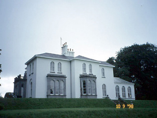 Coolclogher Housecountry house · 1062 yd
 Religious houseReligious house, Franciscan friars · 1157 yd
 Cross (present location) in CarrigafreaghaneCross (present location) · 1453 yd
 McCarthy Mor CastleCastle · 1.1 mi
 Lissivigeen Stone CircleHeritage attraction · 1.2 mi
 The Blue PoolGallery · 1.2 mi
 Mass RockNamed rock · 1.3 mi
 Blue Pool Nature ReserveWood · 1.4 mi
 Castlelough BayBay · 1.5 mi