What is recorded here
Fairy fort / earthen ringfort in Sheepstown is a fairy fort or earthen ringfort in Sheepstown, County Westmeath, Ireland. The site occupies a natural rise in undulating countryside where the source account recorded good views in all directions. It consists of a raised sub-circular area measuring approximately 34.5 metres north-south and 31.5 metres east-west, enclosed by two poorly preserved earthen banks and an intervening wide shallow fosse. The inner bank, which is 3 metres wide and 0.35 metres high, is best preserved from northwest through north to northeast, while the outer bank is only visible at the south.
Situated on a natural rise in undulating countryside with good views in all directions. Stream marking townland boundary with Archerstown 240m to N. Ringfort (WM008-067---) 330m to ENE. Ringfort (WM008-069---) 70m to SE. A raised sub-circular shaped area (approx. diam. 34.5m N-S; 31.5m E-W) enclosed by two poorly preserved earthen banks and intervening wide shallow fosse. The inner bank (Wth 3m; H 0.35m) is best preserved from NW-N-NE. The fosse is best preserved at N & S, while the outer bank is only visible at S. An entrance gap (Wth 1.8m) and causeway (Wth 5m) across the fosse at SW. The interior rises towards the centre, with two vague low broad parallel banks running WNW-ESE in the S quadrant which could possibly represent the remains of a hut site.
Compiled by: Frank Coyne and Caimin O'Brien
Date of upload: 24 April 2017
The monument record does not grant public access. Check the route and ask the landowner before entering private land.
- What survives
- Recorded monument
Places near here
 Hut site in ArcherstownHut site · 439 yd
 Partially hachuredFairy fort / earthen ringfort · 1262 yd
 Bawn in ArcherstownBawn · 1678 yd
 Archerstown Church in ruinsChapel · 1699 yd
 Bawn in Scurlockstown (delvin By.)Bawn · 1.0 mi
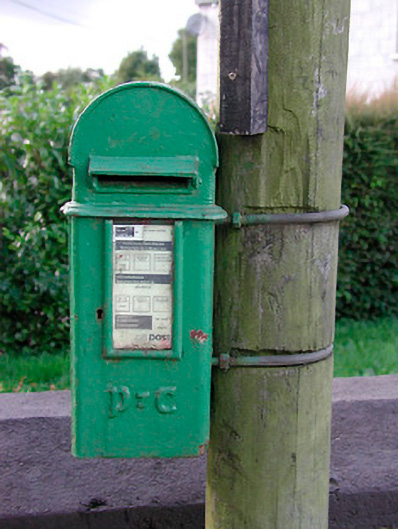 post boxpost box · 1.4 mi
 The FurzeForest · 1.6 mi
 The Sloe HillMountain / peak · 2.7 mi
 Kells HillMountain / peak · 3.1 mi
 Bradley's WoodWood · 3.1 mi
 Castle IslandIslet · 4.8 mi
 South East GateHeritage attraction · 5.1 mi