What is recorded here
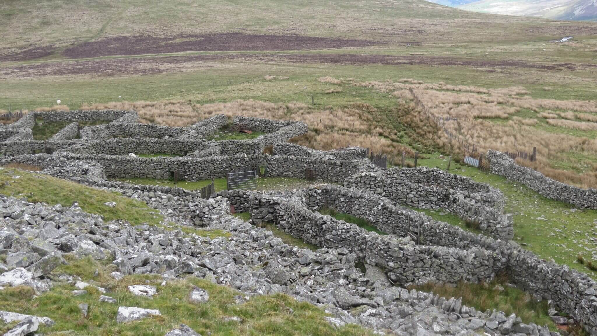
In rough pasture, on a N-facing slope near the S shore of Kilmakilloge Harbour. A circular area (4.2m E-W; 4m N-S) defined by a drystone wall (T 0.5m; H 0.4m at E). The lower courses of the wall consist of large stones which protrude above the blanket bog. Some of these lower course stones are set upright at right angles to the line of the wall S-SW. Smaller stones from the collapsed upper courses are scattered in the interior and downslope externally to the N and NW. Outcropping rock forms most of the internal ground surface. There is further outcropping rock on the downslope externally to the N and NW.
The above description is derived from the published 'Archaeological Inventory of County Kerry. Volume I: South-West Kerry' (Dublin: Stationery Office, 2009). In certain instances the entries have been revised and updated in the light of recent research.
Date of upload: 30 May 2011
Add the human story, a picture, a first-hand message or a missing place.
Earn 5 points after the picture is checked and accepted.
Add a pictureAdd its storyTalk or ask a questionAdd a new placeThe monument record does not grant public access. Check the route and ask the landowner before entering private land.
Conversation about this place
Questions and messages sit beneath the source record. They are checked before appearing.
No questions or messages yet.
Ask a question or join the conversation