What is recorded here
Indicated is a grass-covered ringfort on the steep western slope of Sheebeg, its shallow stone edge barely rising above the turf. The D-shaped basin measures thirty-five metres across, wide enough for rooftops, stockpens or forgotten gatherings, yet no standing wall remains to mark the boundary. A narrow gap at the southeast may have served as an entrance, but the southern field wall has cut through the site, trimming what once stood complete. The fort has lost its sharp edges to time and farming, leaving only a slight swelling in the hillside that the eye must learn to see.
Located towards the top of the steep W-facing slope of Sheebeg, just above a shelf on that slope. This is a grass-covered D-shaped area (int. dims 35.5m ENE-WSW; 31m NNW-SSE) defined by a grass-covered stone spread (Wth 2m at E to 5m at W; int. H 0.4m at E to 0.8m at W; ext. H 0.2m at E to 1m at W), but no facing-stones are visible. There is a possible entrance (Wth 0.5m) at SE, and the monument is truncated by an ENE-WSW field wall (L 20m) at S.
The above description is derived from 'The Archaeological Inventory of County Leitrim' compiled by Michael J. Moore (Dublin: Stationery Office, 2003). In certain instances the entries have been revised and updated in the light of recent research.
Date of upload: 23 September 2008
The monument record does not grant public access. Check the route and ask the landowner before entering private land.
- What survives
- Recorded monument
Places near here
 Enclosure in SheebegEnclosure · 272 yd
 Finn McCool's MonumentArchaeological place · 498 yd
 bridgebridge · 948 yd
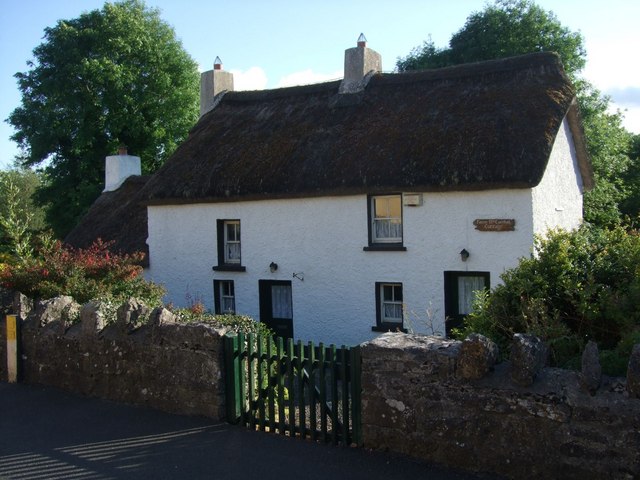 Fionn McCumhail Cottagehouse · 1375 yd
 Rusheen IslandIslet · 1570 yd
 Castle JohnCastle · 1577 yd
 Small IslandIslet · 1754 yd
 Sheemore Ambush MemorialMonument · 2.3 mi
 CastleforeCastle, tower house · 2.5 mi
 Leabaidh DermotCave · 2.6 mi
 Shannon-Erne WaterwayVisitor information · 4.4 mi
 Battle of Áth an Chipbattle · 4.8 mi
Other information
Photo: Credit not shown in the picture search · Rights wording not checked; contact us if this picture should be removed