What is recorded here
Thirty-four metres of blackthorn and forgotten stone circle the rise at Sheebeg Hill, hiding a platform built before maps learned to see. The ring-cairn waits beneath scrub and grass, large enough to hold a hundred people or one decisive act, yet absent from every chart drawn since. It is not lost, only patient, keeping its shape on the ridge while human memory thins around it.
Located on a rise at the N end of the N-S summit ridge of Sheebeg Hill. This cairn is not marked on any map but is visible as a circular feature on aerial photographs (GSIAP; H, 76-7) and on subsequent series. It is a grass and scrub- covered subcircular stony platform (diam. 20m N-S; H 0.6-0.8m) separated by a berm (Wth 2-3m) from a grass-covered stone ring-bank (Wth 4.2-5.2m; int. H 0.1-0.3m; ext. H 0.4-0.6m). The E part is overgrown with blackthorn (max. ext. diam. 34.5m N-S).
The above description is derived from 'The Archaeological Inventory of County Leitrim' compiled by Michael J. Moore (Dublin: Stationery Office, 2003). In certain instances the entries have been revised and updated in the light of recent research.
Date of upload: 23 September 2008
A ring-cairn, likely dating to the Neolithic or early Bronze Age, representing a form of ritual or funerary monument associated with early agricultural communities in the region. Its circular form and location on a prominent hilltop suggest it may have had ceremonial or territorial significance.
The monument record does not grant public access. Check the route and ask the landowner before entering private land.
- What survives
- Recorded monument
Places near here
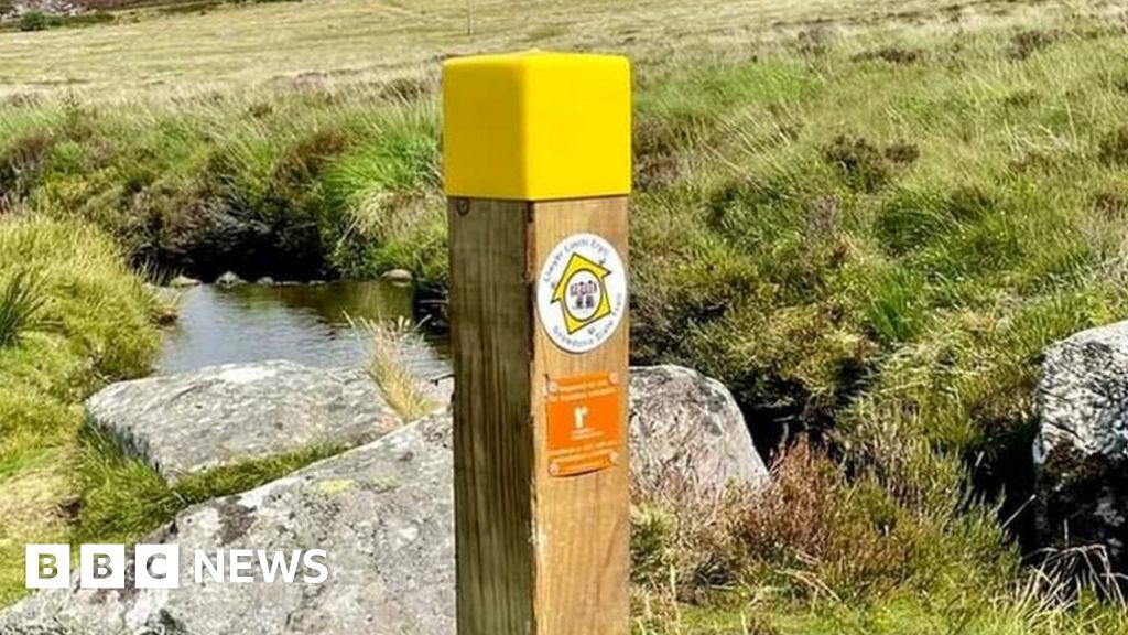 IndicatedFairy fort / stone ringfort · 267 yd
 Enclosure in SheebegEnclosure · 333 yd
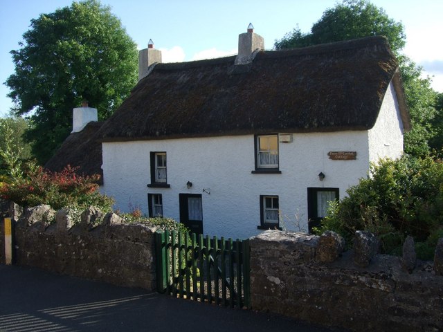 Fionn McCumhail Cottagehouse · 1131 yd
 bridgebridge · 1171 yd
 Castle JohnCastle · 1444 yd
 Rusheen IslandIslet · 1522 yd
 Otter IslandIsland · 1648 yd
 Sheemore Ambush MemorialMonument · 2.4 mi
 CastleforeCastle, tower house · 2.4 mi
 Leabaidh DermotCave · 2.7 mi
 Shannon-Erne WaterwayVisitor information · 4.5 mi
 Battle of Áth an Chipbattle · 4.9 mi