What is recorded here
Three metres of ancient stone still stands inside Cromwell's Fort on the Iveragh Peninsula, forcing a later military boundary to acknowledge a much older presence. Packing stones and a leaning slab hold it upright despite Chatterton finding it easily shaken in 1839, while pasture and a view toward Mangerton Mountain surround the layered site. The fort may have claimed the place, but the gallaun outlived every human boundary drawn around it.
In undulating pasture, on top of a rise with views SW to Mangerton Mountain. The stone (dims. 1.35m x 0.78m; H 1.92m), orientated NNE-SSW is roughly rectangular in plan and has a rounded top.
Compiled by: Elizabeth Byrne, Ursula Egan and Sheila Ronan, Archaeological Survey Unit, University College, Cork.
Date of upload: 31 January 2011
The monument record does not grant public access. Check the route and ask the landowner before entering private land.
- What survives
- Recorded monument
Places near here
 IndicatedFairy fort / earthen ringfort · 274 yd
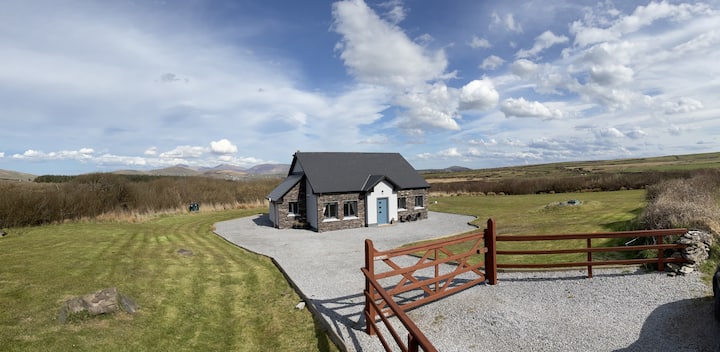 Hut site in DromickbaneHut site · 1054 yd
 Sheheree Bog Nature ReserveNature reserve · 1219 yd
 Religious houseReligious house, Franciscan friars · 1462 yd
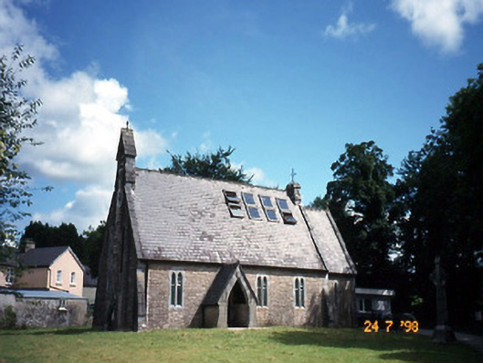 church/chapelchurch/chapel · 1643 yd
 The Blue PoolGallery · 1645 yd
 Blue Pool Nature ReserveWood · 1653 yd
 Muckross AbbeyHeritage attraction · 1.2 mi
 Flesk CastleCastle · 1.3 mi
 McCarthy Mor CastleCastle · 1.4 mi
 Osprey RockIsland · 1.6 mi
 Castlelough BayBay · 1.6 mi