What is recorded here
The cropmark of a small circular enclosure (int. diam. c. 5m) defined by a single wide fosse feature (Wth c. 2-3m) is visible on Google Earth images (12-07-2013) and on Bing images (2013). It was first identified by Tom Condit and the ring-ditch (ME051-016002-) is c. 35m to the SSW.
See the attached enhanced view from Digital Globe (2011-2013)
Compiled by: Michael Moore
Date of upload: 23 May 2017
The monument record does not grant public access. Check the route and ask the landowner before entering private land.
- What survives
- Recorded monument
Places near here
 Enclosure in BallintryEnclosure · 791 yd
 Caulstown Christmas Tree FarmForest · 930 yd
 Enclosure in NuttstownEnclosure · 1294 yd
 Wesley's WoodsWood · 1.1 mi
 Kilbride MoatCastle, motte · 1.9 mi
 Church (in Ruins)Church · 2.1 mi
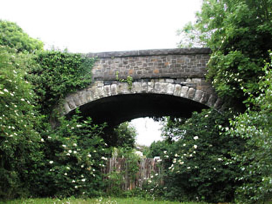 bridgebridge · 2.2 mi
 CastleCastle, ringwork · 2.5 mi
 Graveyard in BuzzardstownGraveyard · 2.9 mi
 Blanchardstown Centre information deskVisitor information · 3.9 mi
 Hanwood GardensHeritage attraction · 4.0 mi
 Church, GraveyardChurch · 4.1 mi