What is recorded here
In rough grazing, on the E bank of a stream and within a network of field boundaries (CO090-026001-). A partially eroded, crescent-shaped mound (13.5m N-S; 6.5m E-W; H 1.6m) of heat-shattered stones and charcoal-enriched soil. The opening (Wth 2m) faces W towards the stream. A burnt mound (CO090-026007-) lies c. 80m to the N.
The above description is derived from 'The Archaeological Inventory of County Cork. Volume 5' (Dublin: Stationery Office, 2009).
Date of upload: 22 December 2009
The monument record does not grant public access. Check the route and ask the landowner before entering private land.
- What survives
- Recorded monument
Places near here
 CairnCairn, radial-stone cairn · 224 yd
 Burnt mound in RossnashunsogeBurnt mound · 250 yd
 Tasmanian bluegumTasmanian bluegum · 911 yd
 Glengarriff Eccles Hotelhotel · 960 yd
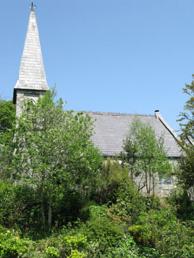 The Old Church Caféchurch/chapel · 1109 yd
 The Blue PoolHeritage attraction · 1433 yd
 Friars IslandIslet · 1493 yd
 Calf IslandIslet · 1498 yd
 Graveyard in CappyaughnaGraveyard · 1542 yd
 Lady Bantry's LookoutViewpoint · 1.2 mi
 Glengarriff WoodsWood · 1.5 mi
 Bryce HouseMuseum · 1.6 mi