Why this matters
A local ancient tomb; wider significance not recorded.
What is recorded here
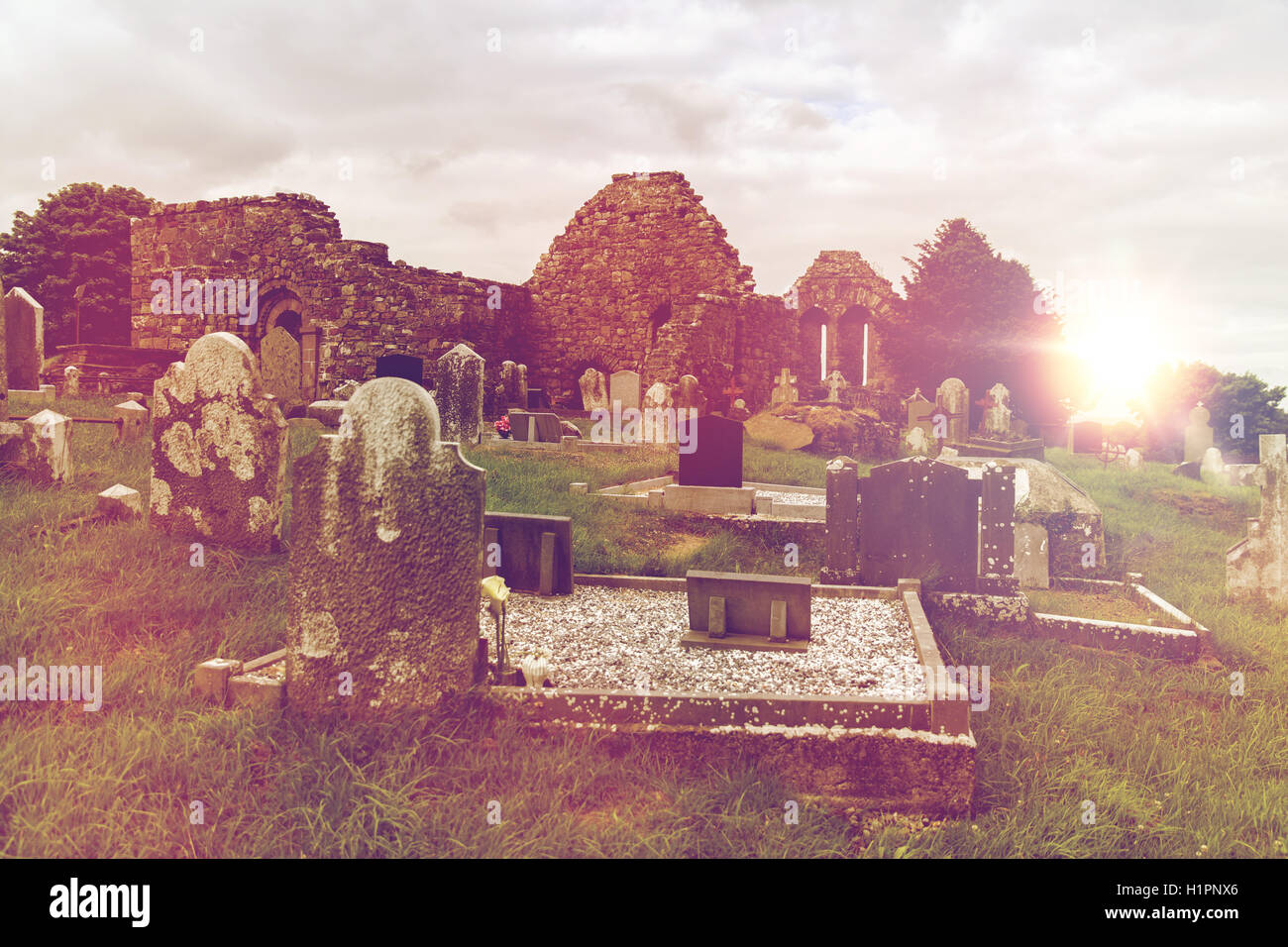
Situated in flat meadow, c. 150m N of St. Dominick's Well (LI013-018----). The site is heavily masked by dense scrub vegetation. Indicated on the 1924 OS 6-inch map as a sub-rectangular area (c. 50-60m ENE-WSW by 20m NW-SE), accessed by a track leading for 30m to the graveyard from a by-road to the NW. The graveyard is now unused. The monuments largely date from the 19th century and many of the graves have been disturbed by vegetation growth. It is enclosed by a dilapidated mortared stone wall and much of the interior is masked by mature and fallen deciduous trees. The ruins of St Dominick's Church (LI013-017001-) are in the NE of the graveyard.
Add the human story, a picture, a first-hand message or a missing place.
Earn 5 points after the picture is checked and accepted.
Add a pictureAdd its storyTalk or ask a questionAdd a new placeThe monument record does not grant public access. Check the route and ask the landowner before entering private land.
Conversation about this place
Questions and messages sit beneath the source record. They are checked before appearing.
No questions or messages yet.
Ask a question or join the conversation