What is recorded here
Unknown Townland holds a torn strip of Westmeath sandstone where Bronze Age hands cut concentric rings around small cups. The stone later became a fort-paving slab, so boots and rain wore one face while burying another, preserving sharper lines beneath. It is not a grand chamber but a fragment: a cup, arcs and a broken edge that once belonged to a larger surface now lost.
This stone was found by Macalister and Praeger (1929-31) in the course of their excavations of the ringfort at Togherstown, Co. Westmeath (see WM024-028001-). The stone has been described by O’Reilly (2010, 76-7) as follows: ‘Macalister and Praeger's report on their excavations at Togherstown on the northern slopes of the Hill of Uisneach was published in 1931. Included in the excavation report was a drawing and description of a small fragment of a stone decorated with prehistoric rock art that had been re-used as a paving slab in the courtyard of the early medieval ringfort. . . . The Togherslown stone is a fragment of local sandstone measuring approximately 38 x 36 x 10cm that seems to have been broken off a larger stone in the vicinity at some stage before being deposited at Togherstown. The excavators believed it to have been decorated on three surfaces, and recorded that it was 'inscribed on both faces and one edge (presumably the original top) with bronze-age spiral ornament. The side which had been turned uppermost in the pavement where it was found was abraded by footwear: but the lower side was, if anything, rather more injured by weathering, except along one edge where the surface was bevelled and preserved its carving quite sharp'. The ornament on the uppermost face and the bevelled edge is indeed clear, but that on the third face is less convincing. When examined and photographed in 2001 this surface still had red chalk lines drawn on it. These correspond to Macalister's supposed spirals, which are indicated only very faintly on his original drawing. On closer inspection it appears that this is a naturally weathered and pitted surface and that these 'spirals' must be ruled out as rock art.
Of the two remaining surfaces the ornament on the 'bevelled edge' is the best preserved, having being laid face-down in the paved courtyard. On this surface two motifs can be seen. The first is a small cup-mark approximately 3cm in diameter surrounded by two concentric rings, the largest measuring approximately 8cm in diameter. Immediately beside it are the remains of a similar but larger pattern, apparently another cup-and-ring design. Of this pattern only two arcs of the outer rings are visible, the rest of the motif being truncated by the broken edge of the stone (Fig. 4, left). The second side of the Togherstown stone is badly worn as a result of being exposed when used as a paving stone. This surface does, however, contain the larger portion of rock art on the stone. It consists of a central cup-mark approximately 3cm in diameter surrounded by five concentric arcs, the largest of which has a diameter of 20cm (Fig. 4, right). When complete, the arcs must have formed a group of concentric rings around the central cup-mark.’
Compiled by: Paul Walsh
Date of upload: 30 August 2013
This rock art likely dates to the early medieval period, associated with the ringfort context. Its meaning is unclear, but may have had symbolic, territorial, or ritual significance.
The monument record does not grant public access. Check the route and ask the landowner before entering private land.
- What survives
- Recorded monument
Places near here
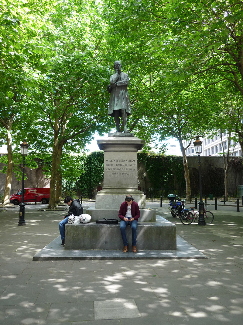 Archbishop Plunket Memorialmonument · 57 yd
 Dept. of Enterprise & Employment\Dept. of Cultureoffice · 68 yd
 The Soup BowlMemorial · 179 yd
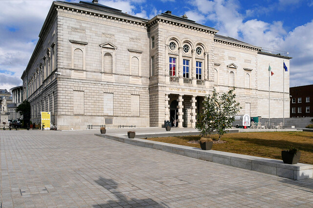 National Gallery of IrelandMemorial · 212 yd
 Dublin MillenniumMemorial · 240 yd
 The Little Museum of DublinMuseum · 259 yd
 O'Donovan RossaMonument · 388 yd
 St. Patricks WellHoly well · 391 yd
 Weeping willowWeeping willow · 395 yd
 Bigleaf MapleBigleaf Maple · 502 yd
 Battle of DublinMajor battlefield · 866 yd
 Tourist Information CentreVisitor information · 950 yd