What is recorded here
This site is located on the SW spur of Knag hill, overlooking Lough Currane to E and Ballinskelligs Bay to W. The weathered decoration occurs on two horizontal surfaces of a large section of rock outcrop, which falls almost vertically at W. The larger surface bears three cup-and-two rings, the outer rings in each case being gapped, one cup-and-ring, and four cupmarks, one with a radial groove. The second surface features two cup-and-rings, three cupmarks, and two linear grooves. One of the cup-and-rings has the arc of a second ring, which terminates at one end with a cupmark.
Finlay recorded another decorated surface 40m to the W of this which featured a cup-and-ring, partly enclosed in a Y-shaped figure formed by grooves, a cupmark with radial groove, and a short straight groove (1973, 61-2; Fig. 72). 5m to S was a lightly picked square. Neither of these surfaces can now be identified.
The above description is derived from A. O'Sullivan and J. Sheehan (compilers), 'The Iveragh peninsula: an archaeological survey of South Kerry'. Cork University Press (1996), no. 364. In certain instances the entries have been revised and updated in the light of recent research.
Date of upload: 28 July 2013
In rough mountain heath (78m OD) with areas of rock outcrop, on a W-facing slope; Excellent views of Ballinskelligs Bay to SW and Lough Currane to SE. A very rough and fractured sandstone outcrop (dims. 4.1m NE-SW; 2.40m NW-SE; max. H 0.90m at W) having a flat, rectangular decorated surface (dims. 1.20m N-S; 1.50m E-W) bearing very weathered motifs confined to NE area of stone. A cup-and-ring motif (overall dims. 29cm x 24cm; ring Wth 1-2.5cm; D 2-3cm; cup diam. 11cm; D 17mm) is at N margin of decorated surface. An obvious cupmark (diam. 6cm; D 7mm) is further to E and a very weathered cupmark (diam. 5cm; D 4mm) at W is very difficult to trace. A Y-shaped groove (Wth 2-3cm; D 3-4mm) is difficult to follow due to weathering: A curvilinear groove (overall L 112cm) defines the E portion (being very difficult to see due to weathering) and a stepped groove (overall dims. 80cm N-S; 20cm E-W) defines the W portion.
Compiled by: Alison McQueen and Vera Rahilly
Date of upload: 7 July 2017
Likely dating to the Neolithic or Bronze Age, the rock art may have had ritual or territorial significance, possibly linked to early farming communities or local mythology. No specific folklore is recorded for the site.
The monument record does not grant public access. Check the route and ask the landowner before entering private land.
- What survives
- Recorded monument
Places near here
 Indicated (1846).Fairy fort / earthen ringfort · 389 yd
 Leacht in TermonsLeacht · 932 yd
 Iveragh Lodgehunting/fishing lodge · 1434 yd
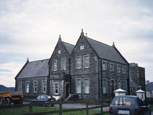 The Cable Stationcoastguard station · 1604 yd
 Butler MemorialMemorial · 1.2 mi
 T. C. Millerick MemorialMemorial · 1.3 mi
 Waterville PromenadeWalking route · 1.4 mi
 Inny StrandBeach / strand · 1.6 mi
 CastleCastle, tower house · 1.9 mi
 Reenrow BeachBeach / strand · 2.4 mi
 Emlagh LoopWalking route · 2.4 mi
 CoomduffMountain / peak · 3.0 mi