What is recorded here
Marked 'St. Columbkille's Stones' on the OS 6-inch maps, this site is traditionally believed by some to be the location of the birth of Columcille.* The site consists of a mound (DG044-021001-), almost oval in plan, 8m N-S and 5m E--W, .5m high. On the N half of the mound is a U-shaped setting of stones open to the N and 4m N-S by 2.5m E-W. Abutting the SE edge of the stone setting is a subcircular slab (DG044-021002-) 2m x 1.7m x .12m. The upper surface of the stone has a number of cupmarks c. 0.1m in diameter. Kinahan (1889, 284) suggested that the cupmarked stone may have been a cover for the U-shaped setting. The site is located on the crest of an E-W ridge with good views to N and S. A modern cross has been erected nearby.
*But see Churchtown (DG044-017001-).
The above description was derived from the 'Archaeological Survey of County Donegal. A description of the field antiquities of the County from the Mesolithic Period to the 17th century.' Compiled by: Brian Lacey with Eamon Cody, Claire Cotter, Judy Cuppage, Noel Dunne, Vincent Hurley, Celie O'Rahilly, Paul Walsh and Seán Ó Nualláin (Lifford: Donegal County Council, 1983). In certain instances the entries have been revised and updated.
Date of upload: 22 September 2008
Likely dating to the Neolithic or Bronze Age, the site may have had ceremonial or ritual significance, possibly later associated with early Christian tradition through its connection to St. Columbkille. The mound and stones may have been repurposed or venerated in the context of saintly folklore.
The monument record does not grant public access. Check the route and ask the landowner before entering private land.
- What survives
- Recorded monument
Places near here
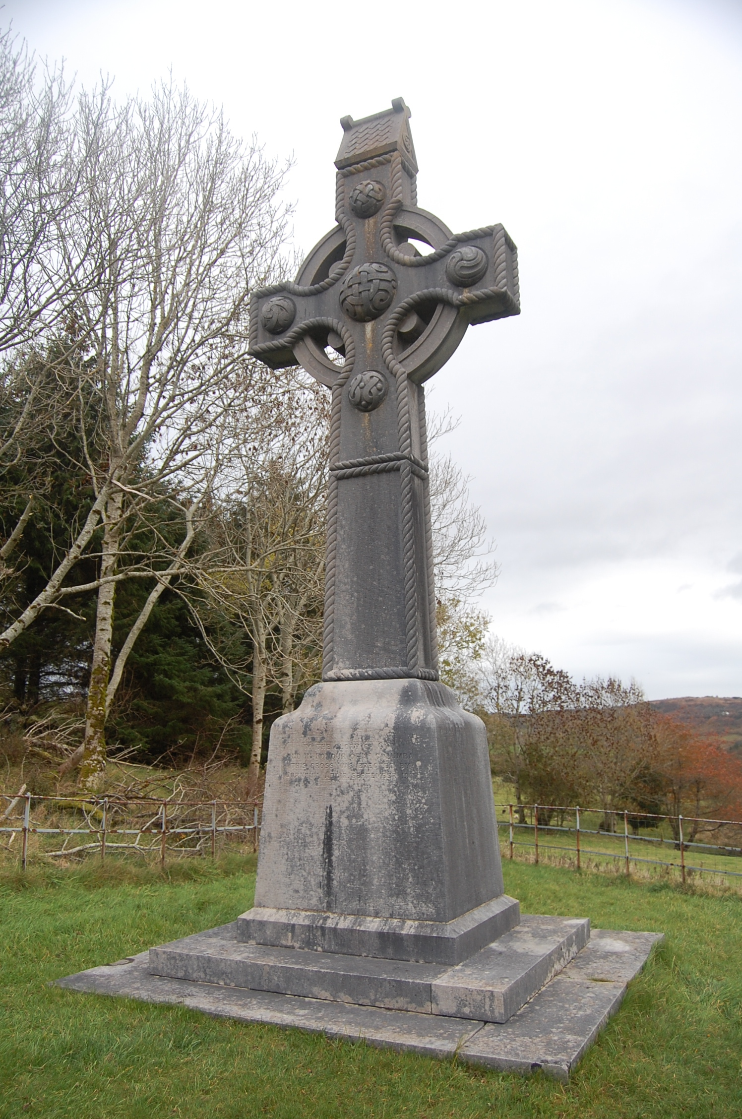 monumentmonument · 8 yd
 St Columcille's Chapel at GartanChapel · 999 yd
 Gartan Ráth Cnó Turas 5 CrossCross · 1018 yd
 Glebe EnclosureEnclosure · 1030 yd
 European BeechEuropean Beech · 1053 yd
 Glebe House and GalleryHeritage attraction · 1063 yd
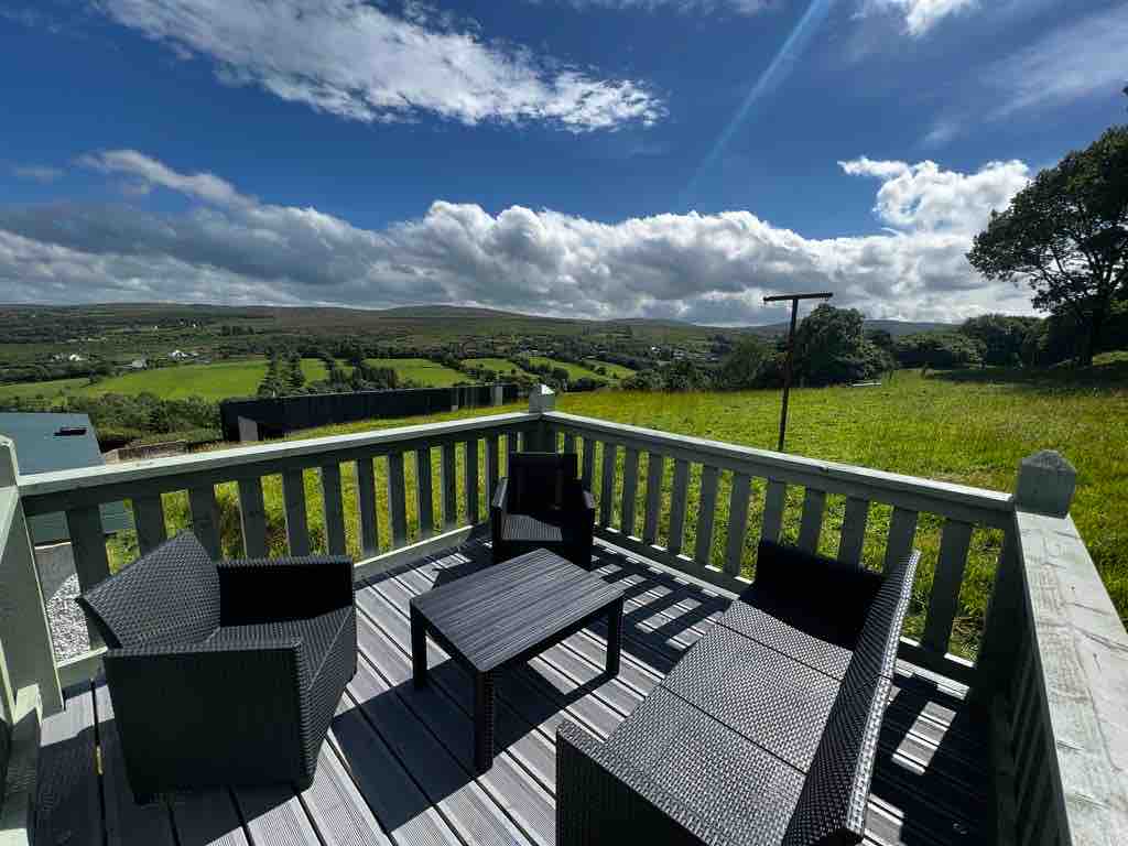 Church Hill ForestForest recreation place · 1.5 mi
 Master Sword in StoneHeritage attraction · 2.8 mi
 Bracken IslandIslet · 3.2 mi
 Craw IslandIslet · 3.2 mi
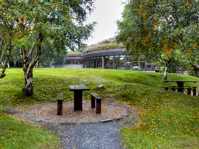 Glenveagh National Park Visitor CentreVisitor information · 3.4 mi
 Stackarnagh Abbey GraveyardGraveyard · 3.6 mi