What is recorded here
Knockbrack holds two split sandstone rocks bearing faint cups and rings beside an ogham inscription, linking ancient marker-making to later written identity on one valley slope. The natural fracture does not damage the place; it invites comparison, as if someone divided one claim into two facing parts. A person may have stood between them, reading cups on one side and letters on the other while the River Maine valley stretched south beneath the stones.
In pasture, on a SSE-facing slope, just N of a small stream. An irregular-shaped rock outcrop (2.3m E-W; 2.1m N-S; H 0.55m) which tilts to the W, on the NW side of a slight mound (6.1m N-S; 4.8m E-W). On the W side of the outcrop a grouping of faint, weathered rock art is divided by a natural split. The rock art consists of a cup-and-two rings and three cup-marks situated to the W of the split. On the E side of the split a cup-and-three rings adjoined to a ring, within which is a cross-like pattern. There is a cupmark at the intersection of the adjoining rings. The cross-like pattern is similar to those described in an article by O hÉailidhe (1958, 75) as the Rathdown slabs. There is an ogham inscription (KE047-105001-) on the W side of the same rock outcrop. There are other rock outcrops exposed on the W and S areas of the mound. There is a single standing stone (KE047-106----) c. 150m to the S.
Compiled by: Elizabeth Byrne, Ursula Egan and Sheila Ronan, Archaeological Survey Unit, University College, Cork.
Date of upload: 30 May 2011
Inventory Style Entry
In improved pasture (24m OD), upon a low lying area, at base of a S-facing slope; Stream is c. 75m to S. In valley of River Maine with excellent views of Gap of Dunloe to S and MacGillycuddy’s Reeks to SW. A pair of earthfast rocks split from the same outcrop and situated 0.7m apart, upon a low mound. The W rock is a smooth and fractured sandstone (dims. 2.90m N-S; 2.30m E-W) having a flat, irregular decorated surface (dims. 0.80m N-S; 0.50m E-W) bearing decorative rock art elements. The motifs are weathered and consist of a central cup-and-four-ring motif (ring Wth 1.5-2.5cm; D 3mm; cup diam. 5.5cm; D 3mm) having a partial fourth ring around W side which is truncated by a natural fracture (long-axis c. N-S) to W. A single cup-and-ring motif is adjacent to N. A single-ring motif and a single cupmark are to S. Ogham inscription (KE047-105001-) is inscribed (L 0.93m) along spine of stone, adjacent to E of rock art. The E rock is a smooth and unfractured sandstone (dims. 3.20m N-S; 2.05m E-W; max. H 1m) having an irregular decorated surface (dims. 0.35m N-S; 0.50m E-W) with a W-facing aspect, at N end of rock. The motifs are weathered and consist of seven cupmarks (diam. 4-8cm; D 3mm). Rock art (KE047-105002-) is located c. 2.60m to N.
Compiled by: Alison McQueen and Vera Rahilly
Date of upload: 6 July 2017
Likely dating to the Neolithic or Bronze Age, this rock art may have had ritual or territorial significance, possibly linked to local landscape features or water sources. No specific folklore is recorded for the site.
The monument record does not grant public access. Check the route and ask the landowner before entering private land.
- What survives
- Recorded monument
Places near here
 IndicatedEnclosure · 682 yd
 Man-made underground passage in BallyfinnaneMan-made underground passage · 1307 yd
 Ballyfinnane Br.Bridge · 1358 yd
 Ballygamboon Forest Recreation AreaWood · 1.3 mi
 Cloonmealane CastleCastle · 1.6 mi
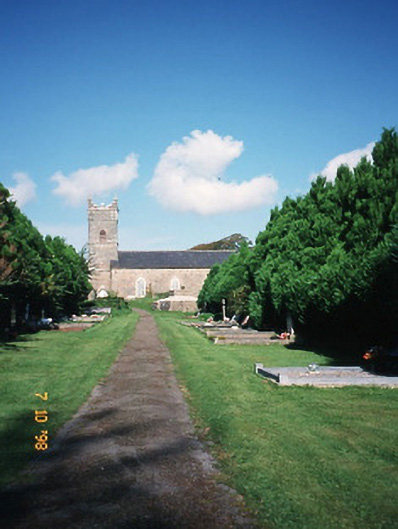 Saint Carthage's Church (Kiltallagh)church/chapel · 2.6 mi
 KnockmoyleMountain / peak · 3.1 mi
 Scotia's GraveArchaeological place · 3.2 mi
 Bealagrellagh CastleCastle · 3.4 mi
 Knockmichael MountainMountain / peak · 3.6 mi
 Common AlderCommon Alder · 4.0 mi
 Tralee Equestrian CentreHeritage attraction · 4.9 mi