What is recorded here
In mountain heath (151m OD), in area of rock outcrop and boulders, on a NE-facing slope. Excellent view of Behy River valley to NE and overlooked by horseshoe of mountains enclosing SE->SW->N. A smooth and fractured sandstone rock outcrop (dims. 1.60m E-W; 1.20m N-S; max. H 0.55m) which is subrectangular in plan. The decorated surface (dims. 0.10m E-W; 0.10m N-S) has a gentle S-facing aspect and bears a well-defined cupmark (diam. 6cm; D 6mm) located upon E side of this rock outcrop; A natural hollow is adjacent to W.
Compiled by: Alison McQueen and Vera Rahilly
Date of upload: 18 July 2017
Likely dating to the Neolithic or Bronze Age, this rock art may have held ritual or territorial significance, possibly linked to landscape features or seasonal movements. Its placement suggests a connection to ancient pathways or ceremonial use within a visually prominent natural setting.
The monument record does not grant public access. Check the route and ask the landowner before entering private land.
- What survives
- Recorded monument
Places near here
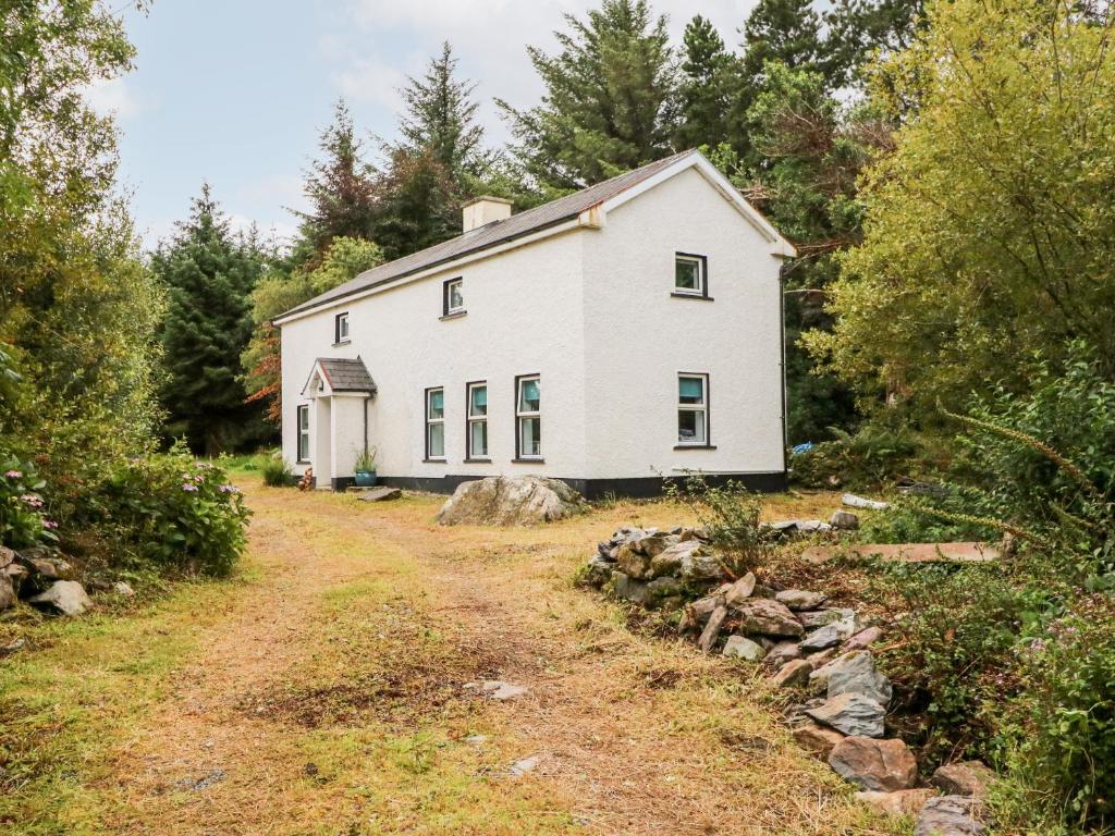 Enclosure in Kealduff UpperEnclosure · 189 yd
 CloghaunsHut site · 347 yd
 Teeromoyle ToothMountain / peak · 1.5 mi
 MullaghnarakillMountain / peak · 1.7 mi
 Mountain StageViewpoint · 2.2 mi
 FeaklecallyHeadland · 3.1 mi
 R.C. Chapel (in Ruins)Church · 3.2 mi
 Gleensk Viaductbridge · 3.2 mi
 Sheep Dog TrainingHeritage attraction · 3.6 mi
 Rossbeigh BeachBeach / strand · 4.1 mi
 Soft Tree-fernSoft Tree-fern · 4.3 mi
 Chilean wine palmChilean wine palm · 4.3 mi