What is recorded here
A cropmark of two parallel lines (L c. 170m; Wth c. 5m) running NE-SW is visible as a cropmark on Google Earth (imagery date 28 June 2018), identified and reported by Simon Dowling.
See attached Google Earth image taken 28 June 2018
Compiled by: Jean Farrelly
Date of upload: 9 April 2019
The monument record does not grant public access. Check the route and ask the landowner before entering private land.
- What survives
- Recorded monument
Places near here
 Enclosure in BallylynanEnclosure · 1307 yd
 Enclosure in RahinEnclosure · 1388 yd
 Church (in Ruins)Church · 1478 yd
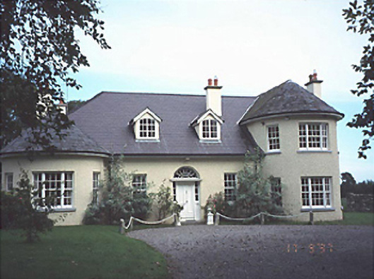 Popefield Househouse · 1550 yd
 Bawn in BallyadamsBawn · 1741 yd
 Ballyadams CastleCastle · 1750 yd
 DM PenderMemorial · 2.6 mi
 Brackney WoodForest · 3.3 mi
 Ernest ShackletonMemorial · 3.4 mi
 Town HallMuseum · 3.4 mi
 Pedunculate OakPedunculate Oak · 4.2 mi
 Cobbler's Castle WalkWalking route · 4.3 mi