What is recorded here
In tillage. Identified as a cropmark on aerial photographs (ASIAP (114) 9-13, 22 July 2000). The cropmark highlights the fosse of a small circular enclosure (diam. c. 18m). A field boundary, depicted on the 1st (1839) ed. OS 6-inch map running roughly E-W, appears to kink out at this point, though the enclosure appears to have been levelled by 1839 as it is not indicated. There are two smaller ring-ditches (KK020-088---- and KK020-087----) c. 8m and c. 40m to the SSE respectively.
See attached:
KK020-084----_01 ASIAP (114) 9, 22 July 2000
Compiled by: Jean Farrelly
Date of upload: 2 March 2021
The monument record does not grant public access. Check the route and ask the landowner before entering private land.
- What survives
- Recorded monument
Places near here
 Kylebeg Church (in ruins)Church · 308 yd
 Enclosure in BlanchvillestownEnclosure · 676 yd
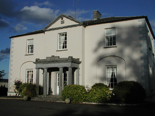 Blanchville Housecountry house · 774 yd
 Site of Blanchville CastleCastle, unclassified · 802 yd
 Enclosure in Clashwilliam (gowran By., Dunbell Ed)Enclosure · 804 yd
 Clifden CastleCastle, tower house · 1.5 mi
 HawthornHawthorn · 1.8 mi
 The CommonsForest · 2.2 mi
 St. Mogarra’s WellSpring · 3.2 mi
 Tullaherin Church and Round TowerVisitor information · 3.5 mi
 Time CapsuleMemorial · 3.5 mi
 Kilbline GraveyardArchaeological place · 4.0 mi