What is recorded here
Fairy fort / earthen ringfort in Rathmoyle is a fairy fort or earthen ringfort in Rathmoyle, County Roscommon, Ireland. It occupies a knoll on a gentle west and south-facing slope and appears only on the 1929 edition of the OS 6-inch map. The grass-covered D-shaped area measures 26.5 metres across, has a scarp reaching 1.4 metres at the south, and keeps a three-metre ramp entrance at that same edge.
Marked only on the 1929 ed. of the OS 6-inch map, and situated on a knoll on a gentle W and S-facing slope. D-shaped grass-covered convex area (dims 26.5m N-S; 26.5m E-W; H 0.7m at E to 1.6-1.8m generally) defined by a scarp (H 0.8m at W to 1.4m at S) at its base, with a berm (Wth 2-3m) NE-E and S-NW. The straight edge (L 14.5m) at N is parallel with a field bank, now removed, 6m distant of field system (RO021-047----). There is a ramp entrance (Wth 3m) at S
Compiled by: Michael Moore
Date of upload: 24 August 2010
The monument record does not grant public access. Check the route and ask the landowner before entering private land.
- What survives
- Recorded monument
Places near here
 RathmoyleArchaeological place · 1 yd
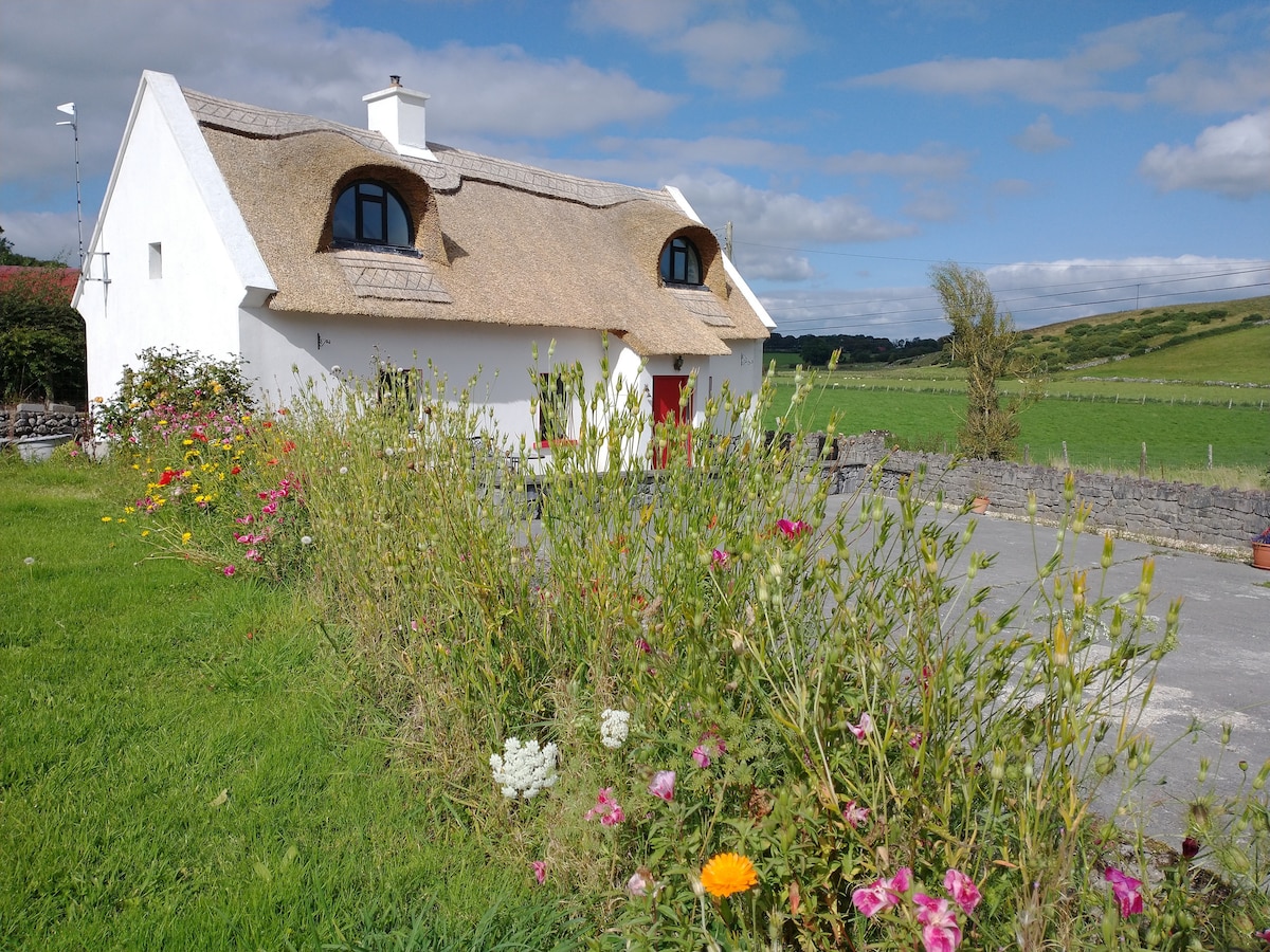 Sweathouse in RathmoyleSweathouse · 918 yd
 IndicatedChurch · 1231 yd
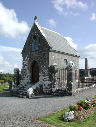 Irwin Mortuary ChapelOfficially recorded historic building · 1235 yd
 CastlerubyCastle, unclassified · 2.4 mi
 GortnacushlaunCastle, unclassified · 3.2 mi
 European ashEuropean ash · 4.0 mi
 ToberagullaSpring · 4.0 mi
 Silver IslandIslet · 4.2 mi
 Workhouse MemorialMemorial · 4.8 mi
 Cruachan Aí Heritage CentreMuseum · 4.9 mi
 Clonalis HouseMuseum · 5.9 mi