What is recorded here
Fairy forts in Rathmoyle were human settlements misnamed by later folklore, yet the earthen ring still stands as a flat-topped bank rising nearly two metres above the grass. Its oval shape stretches forty-four metres across the county landscape, marking a boundary where people once lived, worked and perhaps played before forgetting the names of its rooms. The northern section has vanished beneath a golf clubhouse, but the western and northwestern banks remain visible, preserving the shape of a life that no longer remembers itself.
Marked as an oval enclosure (max. dim. c. 44m NW-SE) on the 1906 edition of the OS 6-inch map. Remains of a flat-topped bank (H c. 1.7m) are visible at W and NW. No evidence of fosse or original entrance. The N section of the site has been destroyed as a result of the construction of a golf clubhouse on it.
The above description is derived from the published 'Archaeological Inventory of County Laois' (Dublin Stationery Office, 1995) compiled by P. David Sweetman, Olive Alcock and Bernie Moran. In certain instances the entries have been revised and updated in the light of recent research.
Date of upload: 17 December 2007
This remains an important historical record, but the official description says the monument is no longer visible or has been destroyed. The monument record does not grant public access. Check the route and ask the landowner before entering private land.
- What survives
- No visible remains or recorded as destroyed
Places near here
 Abbeyleix Heritage CentreMuseum · 829 yd
 Heritage Houseschool · 834 yd
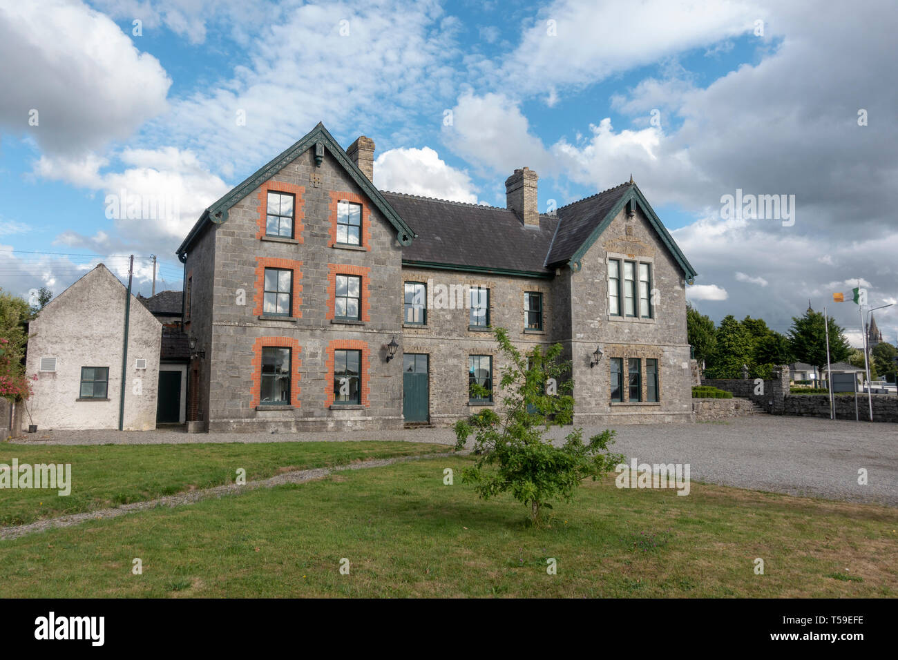 Enclosure in RathmoyleEnclosure · 970 yd
 Catholic Church of the Holy Rosarychurch/chapel · 1071 yd
 Knocknamoe HouseMemorial · 1247 yd
 Enclosure in BlackhillsEnclosure · 1.1 mi
 Sweet ChestnutSweet Chestnut · 1.5 mi
 Scots PineScots Pine · 2.0 mi
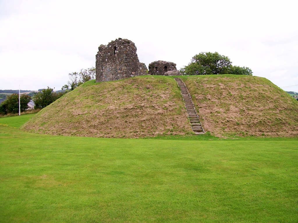 CastleCastle, motte · 2.2 mi
 Heywood GardensHeritage attraction · 3.0 mi
 1798 MonumentMemorial · 3.5 mi
 Water CastleCastle · 3.5 mi