What is recorded here
On low-lying marshy ground. When visited by Cody (1989, 163, no. 23) in 1983, this fulacht fia consisted of a crescentic grassy mound of burnt stone (9m E-W; 7m N-S; H 0.5m max) opening to the S. To its S a shallow hollow-way may have marked the course of a dried-up stream. On inspection in 1984 disturbance had reduced the mound to no more than a scattering of burnt stone, charcoal and black earth. Other fulachta fia lie c. 80m to the SE (GA084-125----) and c. 110m to the SSE (GA084-129----).
Compiled by: Galway Archaeological Survey, UCG
Date of upload: 27 November 2019
The monument record does not grant public access. Check the route and ask the landowner before entering private land.
- What survives
- Recorded monument
Places near here
 CaherFairy fort / earthen ringfort · 1052 yd
 CaherbriskaunFairy fort / stone ringfort · 1273 yd
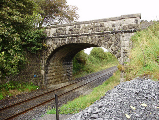 Derrydonnell Bridgebridge · 1.0 mi
 Castle LambertCountry house · 1.1 mi
 Castle (in Ruins)Castle, unclassified · 1.3 mi
 Derrydonnell Castle (in ruins)Castle, tower house · 1.5 mi
 Horse-chestnutHorse-chestnut · 2.6 mi
 Athenry AbbeyHeritage attraction · 2.7 mi
 Athenry CastleHeritage attraction · 2.8 mi
 First Battle of Athenrybattle · 2.8 mi
 Kilcornan WoodWood · 4.4 mi
 Rabbit IslandIslet · 8.5 mi