What is recorded here
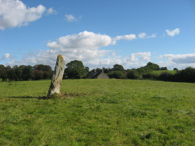
Cloch an Fhir Mhóir still leans south on a Louth rise, guarding the memory of Cúchulainn and the hidden circle beside it. The big man may have bled onto that grass before fading into legend, leaving the stone as his last visible mark. People still walk past it on the old road, unaware they are stepping through the edge of his story.
Situated on a slight rise in a gently undulating countryside. The stone (dims of base 1m x 0.4m; H 2.9m) is orientated E-W and leaning slightly to the S. The monument is known as 'Cloch an Fhir Mhóir' – the stone of the big man - and is traditionally associated with the death of Cúchulainn (Gogan 1953). Gosling (2018) points out that there was a possible stone circle (LH011-020001-) c. 40m to the SE and that the stone is c. 70m W of a meandering roadway which is probably older than the mid-eighteenth century that can be traced through maps at least 600m to the N and at least 1.2km to the SW.
This is a National Monument in state guardianship: No. 474
See the attaché view from N
The above description is derived from both the published 'Archaeological Inventory of County Louth' (Dublin: Stationery Office, 1986) and the 'Archaeological Survey of County Louth' (Dublin: Stationery Office, 1991). In certain instances the entries have been revised and updated in the light of recent research.
Date of upload: 17 July 2007
The monument record does not grant public access. Check the route and ask the landowner before entering private land.
- What survives
- Recorded monument
Places near here
 ClochafarmoreArchaeological place · 1 yd
 Enclosure in Dunbin BigEnclosure · 544 yd
 Church (in Ruins)Church · 1133 yd
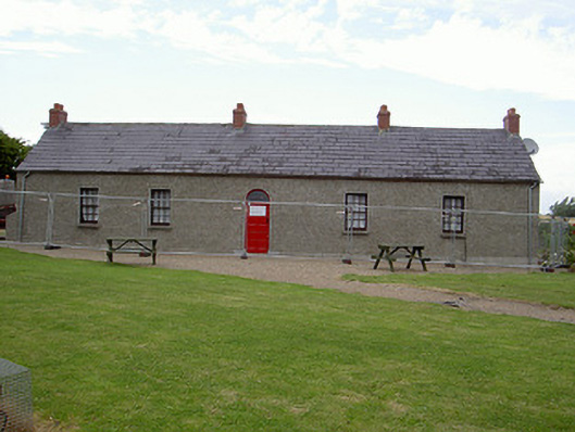 Agnes Burns Cottagehouse · 1223 yd
 CastleCastle, tower house · 1.0 mi
 BallybarrackMountain / peak · 1.7 mi
 Mount AshCastle, motte · 2.0 mi
 Photo GalleryHeritage attraction · 2.9 mi
 Dundalk CentralHeritage attraction · 2.9 mi
 Maid of ErinMemorial · 3.3 mi
 Bombing 1975Memorial · 3.3 mi
 Soldiers' PointHeadland · 5.3 mi
Other information
Photo: Kieran Campbell · CC BY-SA 2.0