What is recorded here
In level pasture. Discovered during construction of Bruff-Mallow gas pipeline (Gowen 1988, 179). Removal of topsoil revealed burnt material in horseshoe shape (L 11.5m; Wth 7.5m). Not further investigated. Second fulacht fiadh (11546) c. 4m to N. (pers. comm. M. Gowen).
The above description is derived from the published 'Archaeological Inventory of County Cork. Volume 4: North Cork' (Dublin: Stationery Office, 2000). In certain instances the entries have been revised and updated in the light of recent research.
Date of upload/revision: 14 January 2009
The monument record does not grant public access. Check the route and ask the landowner before entering private land.
- What survives
- Recorded monument
Places near here
 Church (in Ruins)Church · 517 yd
 Holy Cross CemeteryGraveyard · 526 yd
 Pit-burial in Rathgoggan SouthPit-burial · 619 yd
 IndicatedEnclosure · 901 yd
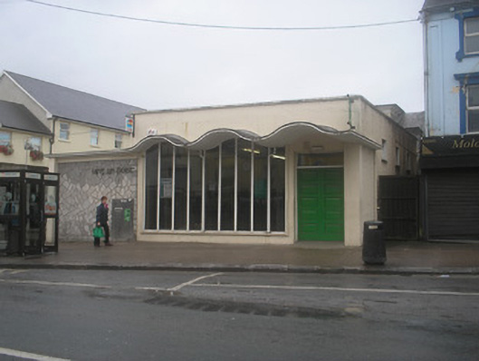 Charleville Post Officepost office · 1052 yd
 Castle Harrison on Site of Castle (19*Castle, unclassified · 1.6 mi
 Ardskeagh MoatCastle, motte · 2.4 mi
 ToberSpring · 2.4 mi
 Lady's WellSpring · 2.5 mi
 BallinaboolaVisitor information · 3.3 mi
 CarrigeenMountain / peak · 3.9 mi
 Caher HillMountain / peak · 4.1 mi