What is recorded here
Grave Yard in County Kilkenny occupies a D-shaped brow where two roads fork and a stone wall holds back the view. Its gravestones, mostly from the early 1700s to the 1900s, cluster south and west of the church, leaving the north side almost empty. A panel from a broken chest tomb was reused as a marker, and a slab dating near 1600 appeared later, suggesting the ground kept more time than first recorded.
On the brow of a gentle E-facing slope, commanding a fine view from NNW-E-SE which is limited elsewhere by a rise in ground level. An irregular D-shaped area (dims. c. 60m E-W; c. 43m N-S) enclosed by a stone wall, entered from the NE side. The graveyard is within the fork of two road, one running NW-SE along the SW side and the other abutting a short section of the NE boundary. In the E portion of the graveyard there is a church (KK009-048001-) with residential tower (KK009-048002-). The gravestones, which largely date from early 18th-20th century, concentrate in the S and W areas of the graveyard, and are notably absent N of the church. Three panels of a chest tomb (KK009-048006-) have been re-used as grave-markers, S, SW and SE of the church. Also within the graveyard is a graveslab (KK009-048004-) dated c. 1600, which was not noted when the graveyard was visited in 1994.
Compiled by: Jean Farrelly
Date of upload: 6 February 2018
The monument record does not grant public access. Check the route and ask the landowner before entering private land.
- What survives
- Recorded monument
Places near here
 Church & Castle (in Ruins)Church · 15 yd
 St. Catherines WellHoly well · 163 yd
 RathbeaghFairy fort / earthen ringfort · 315 yd
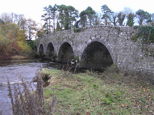 Lismaine Bridgebridge · 1332 yd
 Castle (in Ruins)Castle, tower house · 1402 yd
 Foulksrath CastleCastle, tower house · 1.3 mi
 Donaghmore WellSpring · 2.3 mi
 Emma Jane Browne-ClaytonMemorial · 2.6 mi
 Red horse-chestnutRed horse-chestnut · 2.6 mi
 Graveyard in ThreecastlesGraveyard · 3.1 mi
 Freshford LoopWalking route · 3.2 mi
 The PondsForest · 3.3 mi