What is recorded here
In tillage. Aerial photographs (GB89.P.31and P.38) show cropmarks of a complex monument comprising a roughly circular enclosure (diam. c. 40m) defined by a fosse with a possible entrance in the SE quadrant. There is a curving internal fosse within the enclosure from NE-E-S-SW, running into the outer fosse from W-NE, possibly indicates an earlier enclosure at this location, the larger enclosure utilising the NW fosse of the earlier enclosure. A large conjoined curvilinear enclosure extends westwards from the SW quadrant, curving around to join a linear field boundary runnning roughly NE-SW to the NW of the enclosure. The monument is surrounded by an extensive plough-levelled field system (KK009-106----), mainly rectilinear in character, which was largely upstanding on the 1st (1839) and revised (1900) eds of the 6-inch OS map.
Compiled by: Dr. Gillian Barrett for the Archaeological Survey of Ireland and Jean Farrelly
Date of revised upload: 30 July 2018
The monument record does not grant public access. Check the route and ask the landowner before entering private land.
- What survives
- Recorded monument
Places near here
 Enclosure in Clone (galmoy By.)Enclosure · 984 yd
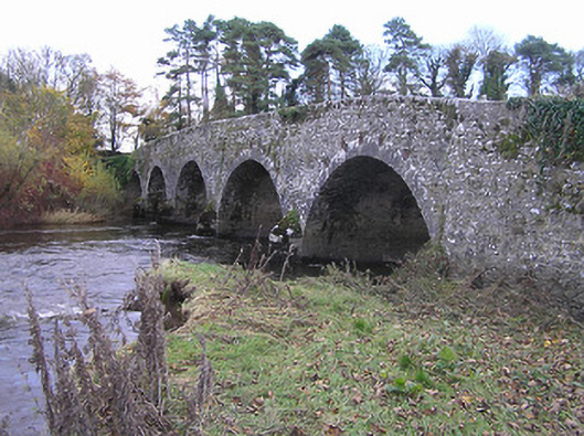 Lismaine Bridgebridge · 1233 yd
 Church & Castle (in Ruins)Church · 1265 yd
 St. Catherines WellHoly well · 1299 yd
 Castle (in Ruins)Castle, tower house · 1342 yd
 Emma Jane Browne-ClaytonMemorial · 1.9 mi
 Red horse-chestnutRed horse-chestnut · 1.9 mi
 Freshford LoopWalking route · 2.5 mi
 The PondsForest · 2.6 mi
 Anker's IslandIsland · 4.4 mi
 DelaneyMemorial · 8.1 mi