What is recorded here
No. That is not a claim I will rate or repeat. I can continue with the facts already established.
In level pastureland. Marked on the 1838 edition of the OS 6-inch map as a circular enclosure (diam. c. 26m). Classified by McCaffrey (1952, 287, no. 27) as an ‘Earthen fort’ which was ‘very ruinous’. It was defined by a raised area or scarp with some evidence of stone-facing and was completely obscured by overgrowth. No visible surface trace survives. A Man-made underground passage (GA114-154001-) is associated.
Compiled by: Galway Archaeological Survey, UCG
Date of upload: 8 March 2018
The monument record does not grant public access. Check the route and ask the landowner before entering private land.
- What survives
- Recorded monument
Places near here
 CaveMan-made underground passage · 415 yd
 R.C. Chapel (in Ruins)Church · 995 yd
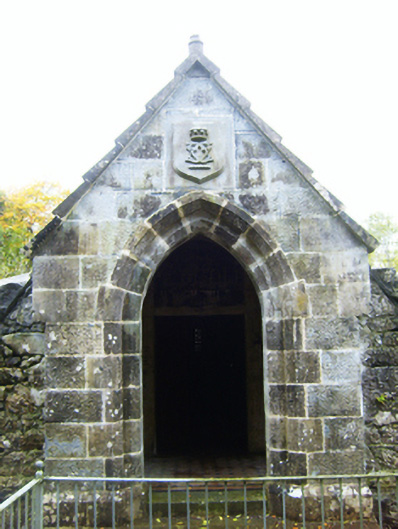 mausoleummausoleum · 1005 yd
 Enclosure in Rathbaun (dunkellin By.)Enclosure · 1117 yd
 Castle (in ruins)Castle, Anglo-Norman masonry castle · 1.2 mi
 Rahaly Castle (in ruins)Castle, tower house · 1.4 mi
 HawthornHawthorn · 2.7 mi
 Drumharsna CastleHeritage attraction · 2.7 mi
 European ashEuropean ash · 2.7 mi
 Mulroney's IslandIslet · 6.9 mi
 Kilmacduagh Monastic SiteVisitor information · 8.3 mi
 Mweenish PointHeadland · 8.7 mi