What is recorded here
The official Northern Ireland record identifies this as RATH, possibly BIVALLATE. Recorded period: E.CHRIST.. The official map point was placed at the centre of the recorded archaeological site from the source map reference.
The monument record does not grant public access. Check the route and ask the landowner before entering private land.
- What survives
- Recorded monument
Places near here
 Church of the Good ShepherdChurch · 1226 yd
 ENCLOSURE in Bearney GlebeENCLOSURE · 1282 yd
 Sion Mills (Former) Elementary SchoolHall · 1354 yd
 ENCLOSURE in BallyfattenENCLOSURE · 1.2 mi
 Skinboy WoodForest · 1.6 mi
 Hunger Strike MemorialMemorial · 2.5 mi
 Koram WoodForest · 2.5 mi
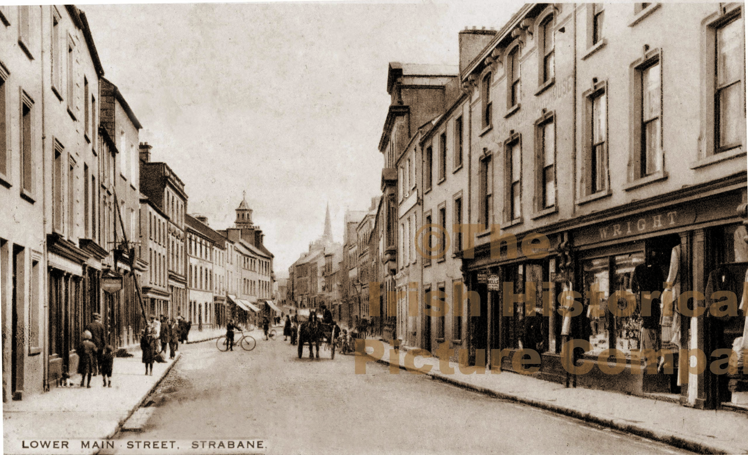 PLANTATION CASTLE (unlocated) in StrabanePLANTATION CASTLE (unlocated) · 2.7 mi
 1916 Easter Rising Memorial StoneMemorial · 2.8 mi
 Gray PrinterHeritage attraction · 2.8 mi
 CASTLE in Town Parks OF StrabaneCASTLE · 2.9 mi
 Abercorn FactoryHeritage attraction · 3.1 mi