What is recorded here
Mortons Bay in County Antrim still carries the name of a forgotten person, while Ballymena and Carrickfergus stand on either side of the story. The bay may have been a trading port before it became a scenic postcard, and that possibility is worth more than a clean date.
The official Northern Ireland record identifies this as RATH. Recorded period: E.CHRIST.. The official map point was placed at the centre of the recorded archaeological site from the source map reference.
The monument record does not grant public access. Check the route and ask the landowner before entering private land.
- What survives
- Recorded monument
Places near here
 Carlisle Memorial Methodist ChurchChurch · 115 yd
 Indian Community CentreHall · 143 yd
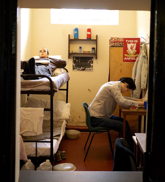 Crumlin Road Gaol Visitors CentreVisitor information · 379 yd
 Crumlin Road GaolMuseum · 431 yd
 McGurk's Bar bombingbomb attack · 540 yd
 Royal AvenueVisitor information · 775 yd
 Northern Ireland War MemorialMuseum · 888 yd
 1972 Donegall Street bombingbomb attack · 931 yd
 St Malachy's CollegeSchool · 246 yd
.jpg?width=1280) Mater HospitalHospital Building · 258 yd
Mater HospitalHospital Building · 258 yd_-_geograph.org.uk_-_1915632.jpg?width=1280) Clifton HouseResidential Home · 321 yd
Clifton HouseResidential Home · 321 yd_-_geograph.org.uk_-_1364433.jpg?width=1280) St Patrick's SchoolShop · 525 yd
St Patrick's SchoolShop · 525 yd