What is recorded here
Belcoo East holds a rath, an earthwork so old it predates christianity. Whether kings, farmers or fugitives built the bank remains unknown. The land still keeps the shape of hands that vanished before written history.
The official Northern Ireland record identifies this as RATH. Recorded period: E.CHRIST.. The official map point was placed at the centre of the recorded archaeological site from the source map reference.
The monument record does not grant public access. Check the route and ask the landowner before entering private land.
- What survives
- Recorded monument
Places near here
 FORTIFICATION in Belcoo WestFORTIFICATION · 388 yd
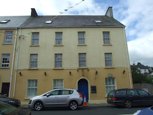 Olive Grovehouse · 456 yd
 The Market Housemarket house · 462 yd
 CarnArchaeological place · 891 yd
 Teampull RuisínHeritage attraction · 1377 yd
 Saint Patrick's Holy WellSpring · 1400 yd
 AughrimMountain / peak · 1.1 mi
 Corry PointHeadland · 1.1 mi
 Kilrooscagh IslandIslet · 1.3 mi
 InisheeIsland · 1.4 mi
 CullentraghMountain / peak · 1.5 mi
 Crannog IslandWood · 1.6 mi