
What is recorded here
Enclosure in Railstown (Railstown parish) is an enclosure in Railstown (Railstown parish), County Tipperary, Ireland. The 1952 to 1954 map and 1954 field drawings depict a roughly circular enclosure, about 30 metres across, truncated to the west by a field boundary with a north-south long axis. A 1996 aerial photograph identifies a penannular cropmark open to the north, while the 1982 account records that the monument was levelled around 1969.
In tillage, on upper edge of E-facing slope. No visible surface trace. Depicted on 2nd (1952-54) edition OS 6-inch map as a roughly circular enclosure (diam. c. 30m) truncated to W by field boundary (long axis N-S) and similarly depicted in a sketch plan and sections drawn in 1954 (OS Field Memorandums). Identified as a penannular cropmark, open to N, on an aerial photograph (ASIAP 08/08/1996; (36) 7-9). Depression noted to immediate N, during field visit, probably represents a well depicted on latest edition OS 6-inch map. Ringfort (TS061-122----) is c. 50m to S. According to Cahill (1982, DR 370), monument levelled c. 1969.
Compiled by: Jean Farrelly
Date of upload: 26 August 2011
The monument record does not grant public access. Check the route and ask the landowner before entering private land.
- What survives
- Recorded monument
Places near here
 Railstown Church (in ruins)Church · 361 yd
 Enclosure in Railstown (kilconnell Par.)Enclosure · 729 yd
 Kilbraghhouse · 1083 yd
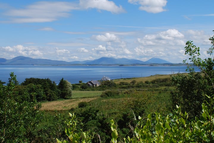 Enclosure in KilsallaghEnclosure · 1181 yd
 Bawn in Ballyduagh (railstown Par.)Bawn · 1.3 mi
 CastleCastle, ringwork and bailey · 1.4 mi
 Ballyknock HillMountain / peak · 4.0 mi
 Cashel Folk MusuemMuseum · 4.1 mi
 Black mulberryBlack mulberry · 4.1 mi
 The Rock Of CashelVisitor information · 4.2 mi
 Cormac's ChapelHeritage attraction · 4.2 mi
 European YewEuropean Yew · 4.8 mi
Other information
Photo: Credit not shown in the picture search · Rights wording not checked; contact us if this picture should be removed