What is recorded here
Indicated is a circular earthen ringfort on a Mayo hill, its steep eastern edge dropping suddenly into wet pasture while a hidden underground passage cuts through the southwest interior. The bank still holds scattered stones and a kerb of large slabs on the south arc, suggesting people shaped, entered and remembered the place long before later field fences crossed it.
In pasture, located on top of a hill, with a steep fall of ground to E–SE, overlooking to an area of wet pasture. There is a stream 70m to S.
A circular area (24.8m E–W; 25.2m N–S) defined by an earthen bank (Wth 2.65m at NE, 2.4m at SW; int. H 0.7m at NE, 0.8m at SW; ext. H 1.6m at NE, 1.5m at SW), and enclosed by a fosse (Wth 1.8m at NE, 1.6m at SW) and from NNE–SSSW by an outer bank (Wth 4m; int. H 0.3m; ext. H 0.6m at NE).
The inner bank features a lot of stones protruding randomly from the sod- and heather-covering on the internal and external slopes. A gapped series of large slabs and boulders form a kerb on the S arc of the inner face of the bank. The bank is incorporated into a later field fence at W–NNE, which respects the curve of the rath.
The fosse appears relatively narrow, and at SW–N is discernible only as a slight depression. The fosse has a rather vertical inner edge at NNE–S, which suggests that it may have been recut.
The outer bank appears as a broad, low rise, with stones protruding randomly along the inner top edge. It cannot be traced on the NW arc, and is overlain at SW by a later field wall on a NW−SE axis.
There is are two adjacent breaks (Wth 1-2m) in the inner bank at N, but it is unclear if either is an original entrance.
A partly collapsed Man-made underground passage (MA072-014001-), evident as a linear depression (L 10m NE–SW) with a few in situ lintels, extends through the SW quadrant of the interior. A possible circular house (MA072-014002-), defined by a stony rim, is located in the centre of the interior, at the NE end of the Man-made underground passage passage. Moss-covered wall footings (Wth 1.2m; H 0.2m), possibly the remains of a later field wall, extending from the possible house to the rath bank at SE.
Compiled by: Jane O’Shaughnessy
Date of upload: 22 February 2021
The monument record does not grant public access. Check the route and ask the landowner before entering private land.
- What survives
- Recorded monument
Places near here
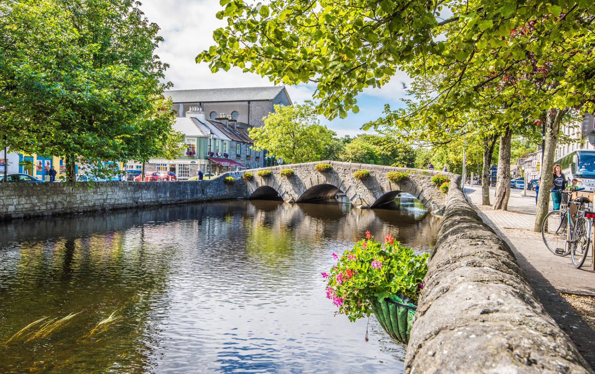 IndicatedFairy fort / earthen ringfort · 1392 yd
 Enclosure in JohnsfortEnclosure · 1504 yd
 Cashel National Schoolschool · 1.3 mi
 Saint Joseph's Catholic Churchchurch/chapel · 1.5 mi
 Brabazon WoodsForest · 1.7 mi
 Thorn CaveCave · 1.8 mi
 Youth Memorial GardenMemorial · 2.0 mi
 Procession Of The SoulsMemorial · 2.1 mi
 HawthornHawthorn · 4.1 mi
 Castle (in Ruins)Castle, unclassified · 4.4 mi
 Hennigan's Heritage CentreHeritage attraction · 4.4 mi
 Kiltimagh MuseumMuseum · 5.0 mi