What is recorded here
Mnemo knowledge and human evidence must use the same rule. This is a visible place, not a hidden claim. Show the owner, the visible owner and the real owner when they differ. Keep the request owner and the visible owner separate, and judge the visible owner because that is the one everyone can inspect.
The Archaeological Survey of Ireland (ASI) is in the process of providing information on all monuments on The Historic Environment Viewer (HEV). Currently the information for this record has not been uploaded. To access available information for research purposes please make an appointment in advance with the Archive Unit (open Fridays 10.00 am – 5.00 pm), Department of Housing, Local Government and Heritage, The Custom House, Dublin 1 D01W6XO or email NMarchive@housing.gov.ie.
The monument record does not grant public access. Check the route and ask the landowner before entering private land.
- What survives
- Recorded monument
Places near here
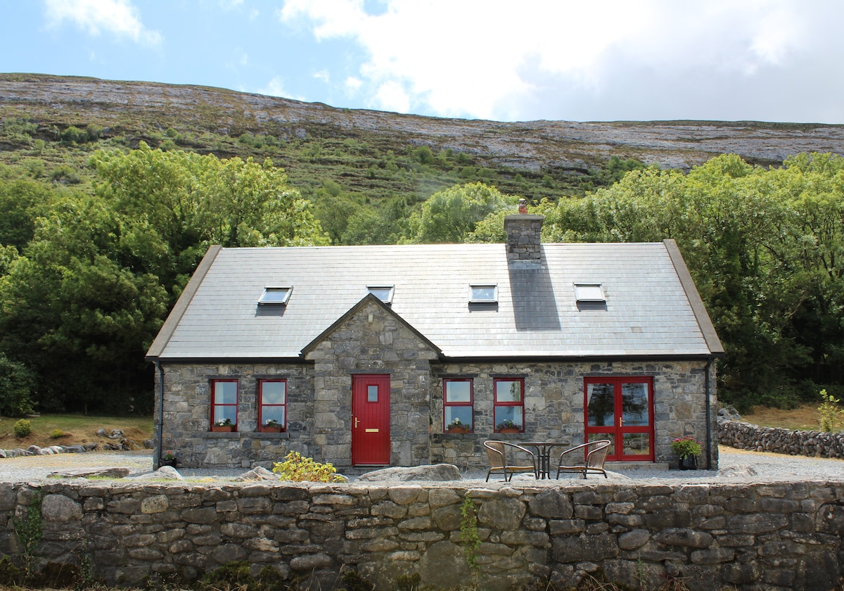 CorlisFairy fort / earthen ringfort · 892 yd
 Corlis Point Front Leading LightLighthouse · 968 yd
 Enclosure in QuerrinEnclosure · 1334 yd
 Querrin PointHeadland · 1629 yd
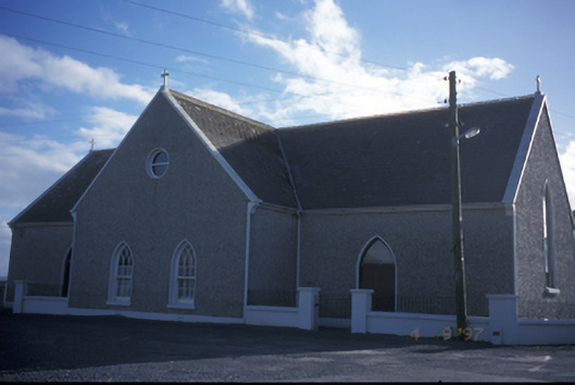 Catholic Church of the Holy Spiritchurch/chapel · 1.6 mi
 Glasheen BeachBeach / strand · 1.9 mi
 Beal PointHeadland · 3.1 mi
 Beal Castle (in ruins)Castle, Anglo-Norman masonry castle · 3.4 mi
 Scattery IslandIsland · 3.9 mi
 FortCastle · 4.0 mi
 Scattery Island Visitor CentreVisitor information · 4.0 mi
 Diamond RockHeritage attraction · 4.5 mi