What is recorded here
On a narrow terrace of rough grazing and outcropping rock backed to N by a low cliff (H 4m), at the S end of the Slievecarran plateau.
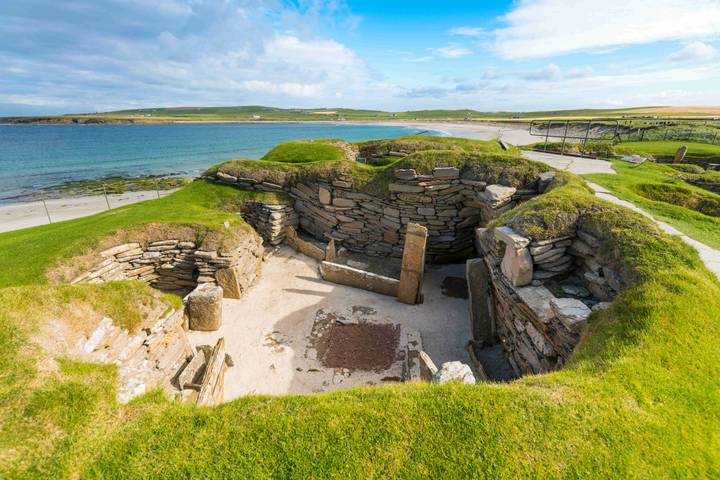
A small penannular enclosure (int. diam. 2.4m E–W) open to the N and defined by a low grassed-over stone spread with occasional inner and outer facing-stones (est. original wall T 0.8m). At W low bedrock terracing has been used to form part of the enclosing element. A poorly preserved cashel (CL006-135001-) occupies the S end of the terrace 7m to the S and a Man-made underground passage (CL006-048001-) lies c. 90m N, just below the final ascent to the Slievecarran plateau. A later animal pen/enclosure stands 7m to the N. The hut site lies within an extensive and multiperiod field system (CL006-0420001-).
Compiled by: Mary Tunney and Ros Ó Maoldúin
Date of upload: 29 September 2021
The monument record does not grant public access. Check the route and ask the landowner before entering private land.
- What survives
- Recorded monument
Places near here
 Enclosure in PullaghEnclosure · 94 yd
 Enclosure in SlievecarranEnclosure · 428 yd
 MacDuagh's BedRuins · 553 yd
 St. MacDuachs Church (in ruins)Church · 584 yd
 Grave of Saint Mac Duagh's ServantArchaeological place · 916 yd
 Cappagh CastleCastle · 1.7 mi
 Kilnaloone GraveyardArchaeological place · 2.0 mi
 Turlough HillMountain / peak · 2.3 mi
 Turlough CastleArchaeological place · 2.6 mi
 Burren National ParkNature reserve · 3.6 mi
 Corcomroe AbbeyVisitor information · 3.7 mi
 Corcomroe Abbey Geopark SiteVisitor information · 3.7 mi