What is recorded here
Twenty metres of west-facing stone jut into the Atlantic at Promontory fort, a small rectangular tongue cut off by a modern earthen bank and a narrow fosse. The cliffs on either side rise sheer while the flat land behind has been drained, leaving flooding visible close by. Whether the ditch marks an ancient defence or merely follows the coast remains unknown because the site has never been properly inspected.
Possible promontory fort described in 2002 as follows; ‘A small subrectangular west-facing promontory juts out 20m from the straight coastline. It is cut off from the mainland by a modern shoreline earthen bank but also by a 3m wide 1m deep fosse running along the inside of this bank. This site has not been inspected and it is unclear whether or not this feature is artificial. The area is flat and has been drained, although flooding is visible close by. The cliffs flanking the headland are sheer’ (Casey 2002, 31, no. K).
The monument record does not grant public access. Check the route and ask the landowner before entering private land.
- What survives
- Recorded monument
Places near here
 Clashmealcon CavesCave · 738 yd
 CastleCastle, tower house · 1070 yd
 Man-made underground passage in Kilmore (clanmaurice By.)Man-made underground passage · 1593 yd
 Hut site in Kilmore (clanmaurice By.)Hut site · 1.0 mi
 MineMine, lead · 1.4 mi
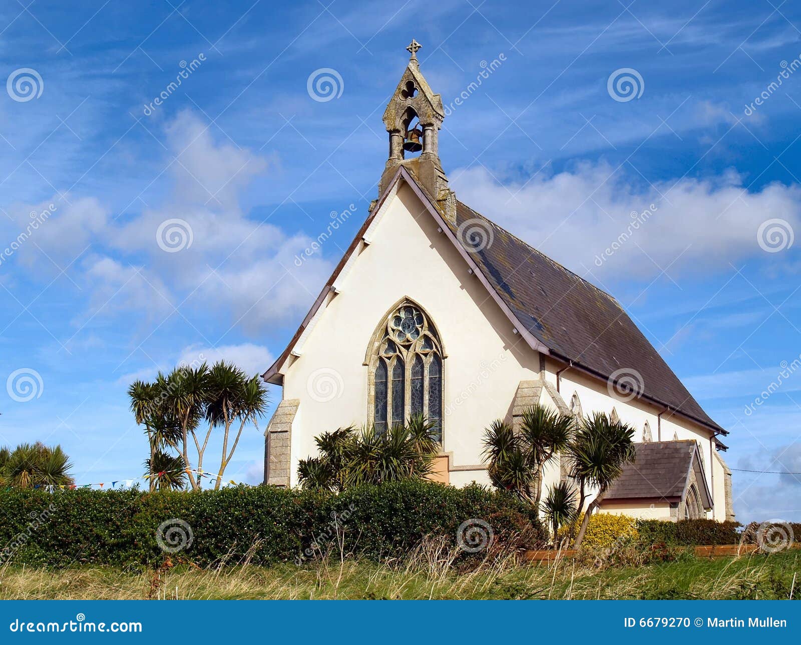 Church in Kilmore (clanmaurice By.)Church · 1.4 mi
 Pierce's IslandIslet · 1.6 mi
 Long StrandBeach / strand · 2.6 mi
 PulleenIslet · 3.2 mi
 Inshaboy PointHeadland · 3.3 mi
 Men's BeachBeach / strand · 3.4 mi
 Crazy GolfHeritage attraction · 3.5 mi