What is recorded here
In pastureland. The outline of a roughly circular enclosure (diam. c. 40m) is visible on Google Earth aerial imagery dated March 2019. Identified and reported by Jean-Charles Caillère.
The following image has been uploaded: GA042-238----_01.jpg Google Earth image (March 2019)
Compiled by: Olive Alcock
Date of upload: 20 July 2022
The monument record does not grant public access. Check the route and ask the landowner before entering private land.
- What survives
- Recorded monument
Places near here
 Enclosure in PollnahalliaEnclosure · 750 yd
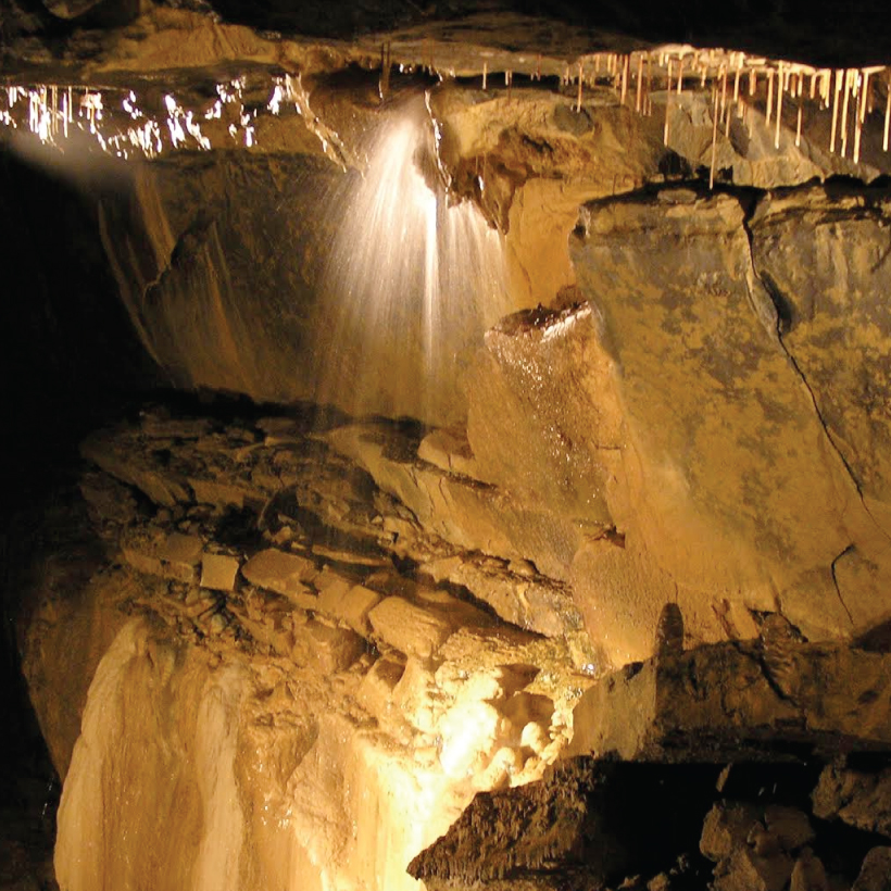 CaveMan-made underground passage · 1026 yd
 Designed landscapeDesigned landscape, summer house · 1.2 mi
 KnockmaaWood · 1.4 mi
 Castle Hacket (in ruins)Castle, hall-house · 1.5 mi
 Castlehacket National Schoolschool · 1.6 mi
 Cashlaun Feecul in ruinsCastle, unclassified · 1.7 mi
 Kilcoona Round TowerHeritage attraction · 2.6 mi
 Mass RockNamed rock · 4.4 mi
 Ballinduff BayBay · 5.1 mi
 Pesooge PlantationForest · 5.2 mi
 Walsh's IslandIslet · 6.2 mi