What is recorded here
Devenish holds a platform rath, raising a small dwelling above the surrounding land. That simple lift suggested pride, visibility or defense, though no human name remains attached to the choice. The island setting keeps the idea alive: a house placed where it could be seen, remembered and perhaps entered only on its own terms.
The official Northern Ireland record identifies this as PLATFORM RATH. Recorded period: E.CHRIST.. Recorded protection: Scheduled. The official map point was placed at the centre of the recorded archaeological site from the source map reference.
The monument record does not grant public access. Check the route and ask the landowner before entering private land.
- What survives
- Recorded monument
Places near here
 RECTANGULAR ENCLOSURE in Devenish IslandRECTANGULAR ENCLOSURE · 231 yd
 CIRCULAR ENCLOSURE in Devenish IslandCIRCULAR ENCLOSURE · 401 yd
 Devenish IslandIsland · 432 yd
 Teampull MórRuins · 845 yd
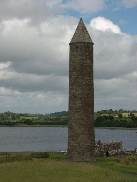 Devenish Island Round TowerViewpoint · 862 yd
 MONASTERY; AUGUSTINIAN ABBEY; ROUND TOWERS; HOLY WELL: DEVENISH; CULDEE CHURCH & ST MARY'S ABBEY in Devenish (island)MONASTERY; AUGUSTINIAN ABBEY; ROUND TOWERS; HOLY WELL: DEVENISH; CULDEE CHURCH & ST MARY'S ABBEY · 893 yd
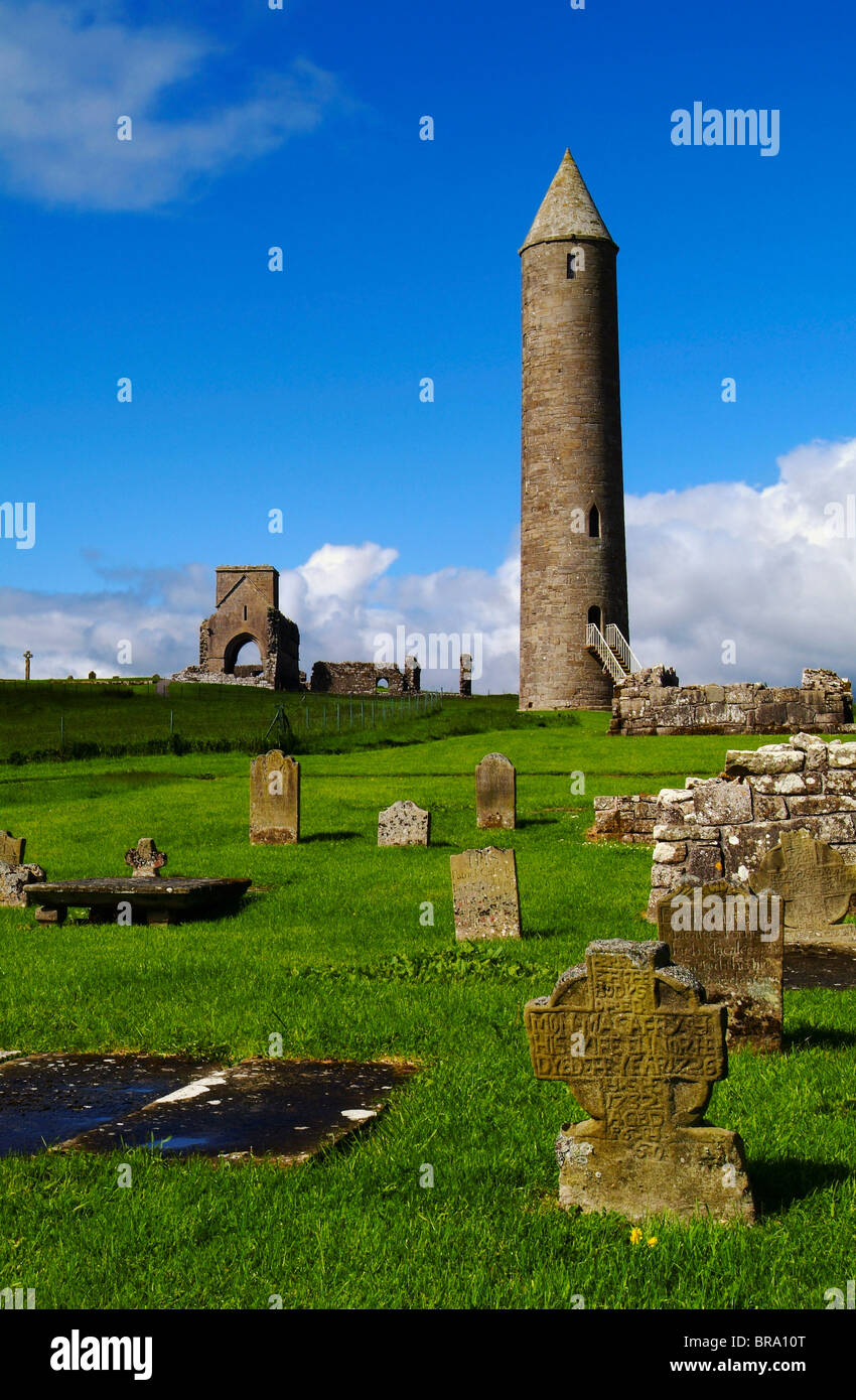 Devenish Monastic Site MuseumMuseum · 910 yd
 Trasna IslandIsland · 1051 yd
 Car IslandIsland · 1635 yd
 Portora CastleCastle · 1.5 mi
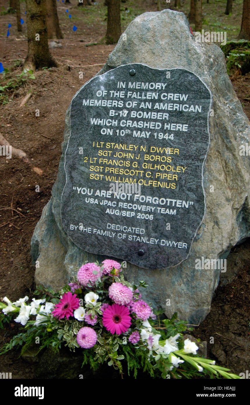 B17 Crash MemorialMonument · 1.6 mi
 Devenish Local Nature ReserveNature reserve · 1.6 mi