What is recorded here
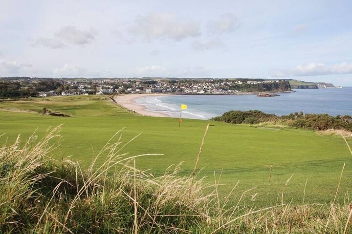
Not depicted as an antiquity on the 1837 ed. OS 6-inch map but shown as an oval-shaped field in the the SE corner of a larger rectangular field. In pasture, on top of a low E-W ridge with good views to N, E and W. Ballykilmore Lough visible 55m to the N. Ringfort (WM039-003----) 150m to NNE. Roughly oval-shaped area (diam. 30m N-S; 48m E-W) defined by a low earth and stone bank with traces of a narrow fosse only visible at SW which may not be an original feature. No entrance feature visible. The enclosing feature consists of a single earth and stone bank visible at E and W. At N and S the enclosing bank changes into a double bank with intervening fosse of post-1700 appearance. The interior of the ringfort is uneven.
See attached profile of monument surveyed and drawn by the ASI.
Compiled by: Caimin O’Brien
Date of upload: 02 August 2013
Add the human story, a picture, a first-hand message or a missing place.
Earn 5 points after the picture is checked and accepted.
Add a pictureAdd its storyTalk or ask a questionAdd a new placeThe monument record does not grant public access. Check the route and ask the landowner before entering private land.
Conversation about this place
Questions and messages sit beneath the source record. They are checked before appearing.
No questions or messages yet.
Ask a question or join the conversation