What is recorded here
In June 1893, a man named M’Quin pulled the stone from the outer ring of a rath in Garraundarragh, where it had leaned inward from the western embankment like a forgotten sentinel. Its angles carry a name, Dumeli son of Glasiconas, written in marks that climb one edge, turn the top, and return down the other side. The stone left the field for a garden at Gortalea and later for a museum, but the rath keeps the shape of the hole it made.
According to Lynch (1894, 291) the stone was found in June 1893 by a Mr M’Quin of Gortatlea ‘on an outlying farm of his at Gurrane.’ There is no townland by the name of Gurrane in this area and the closest possible candidate is Garraundarragh which lies immediately to the south of Gortatlea. Graves (1895, 1) states that this stone was found in the ‘outer ring of a rath . . . When found, it was projecting inwards from the western side of the embankment. But there is every reason to suppose that it originally stood upright.’ (Graves 1895, 1). Macalister (1945, 246, no 252), however, records that it was found in a Man-made underground passage in the townland of Gurrane but does not cite a source for this. Subsequent investigations in 2006 established that it was found in the rath (KE039-070----) in Garraundarragh townland (SMR file; see KE039-148----). Macalister noted that it had been moved to a garden at Gortalea near Tralee and subsequently transferred to the National Museum of Ireland. He gives its dimensions as 1.12m – 1.19m H, 0.23m x 0.32m at the base rising to 0.33m x 0.40m at the top. The inscription runs up one angle and turns at the top to the dexter side, running half round the edge of an oblique plane surface on the summit of the stone, then resumes at the bottom angle adjacent to the first on the sinister sides, and again runs to the top. Macalister (1945, 247) and McManus (1997, 65) recorded the inscription as DUMELI MAQI GLASICONAS NIOTTA COBRANOR[IGAS].
This stone has been studied as part of the ‘Ogham in 3D’ project undertaken by the School of Celtic Studies, Dublin Institute for Advanced Studies. To access details go to the following website: https://ogham.celt.dias.ie/search.php?ciic=252
Compiled by: Nora White
Date of upload: 10 June 2016
The monument record does not grant public access. Check the route and ask the landowner before entering private land.
- What survives
- Recorded monument
Places near here
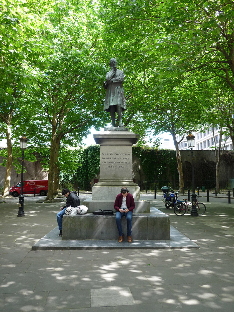 Archbishop Plunket Memorialmonument · 57 yd
 Dept. of Enterprise & Employment\Dept. of Cultureoffice · 68 yd
 The Soup BowlMemorial · 179 yd
 National Gallery of IrelandMemorial · 212 yd
 Dublin MillenniumMemorial · 240 yd
 The Little Museum of DublinMuseum · 259 yd
 O'Donovan RossaMonument · 388 yd
 St. Patricks WellHoly well · 391 yd
 Weeping willowWeeping willow · 395 yd
 Bigleaf MapleBigleaf Maple · 502 yd
 Battle of DublinMajor battlefield · 866 yd
 Tourist Information CentreVisitor information · 950 yd