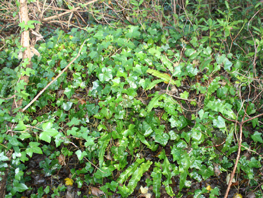
What is recorded here
Rubble stone sundial associated with Malin Hall (see 40801015) on square-plan, erected c. 1850. Now out of use and largely obscured by vegetation. Constructed of rubble stone masonry with flat smooth rendered surface; slight recess to south elevation. Located in overgrown grounds to the rear (north) of the main house, and to the north-east of Malin.
Although now overgrown and largely obscured by vegetation, this sundial creates an interesting and curious feature within the grounds to the rear of Malin Hall (see 40801015). Sundials are a feature that were frequently erected in county estates during the eighteenth and nineteenth centuries but are now increasingly rare survivals. This feature is not named on the Ordnance Survey first edition six-inch map of c. 1837 but it appears to be at the junction of woodland pathways at this time. It is depicted on the Ordnance Survey twenty-five inch map of 1903. Although in poor condition the survival of this feature adds to the interest of the Malin Hall demesne.
This does not grant access. Most recorded buildings are privately owned; view them only from public ground unless the owner allows entry.
Places near here
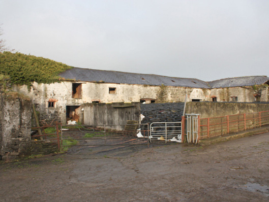 Malin Halloutbuilding · 81 yd
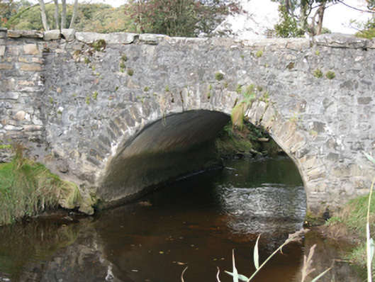 bridgebridge · 572 yd
 IndicatedHoly well · 1.2 mi
 Magheranaul Wedge TombWedge tomb · 1.9 mi
 Doagh Famine VillageMuseum · 2.7 mi
 Dough Famine VillageHeritage attraction · 2.7 mi
 Lag GraveyardGraveyard · 2.7 mi
 Five Finger StrandBeach / strand · 2.9 mi
 Carndonagh Early Church GraveyardGraveyard · 3.3 mi
 Bawn in CarrickabraghyBawn · 4.2 mi
 Carrickabraghy CastleCastle, tower house · 4.2 mi
 CuldaffOfficial bathing water · 4.9 mi
Other information
Photo: National Inventory of Architectural Heritage · Website use allowed for educational or private purposes with source credit