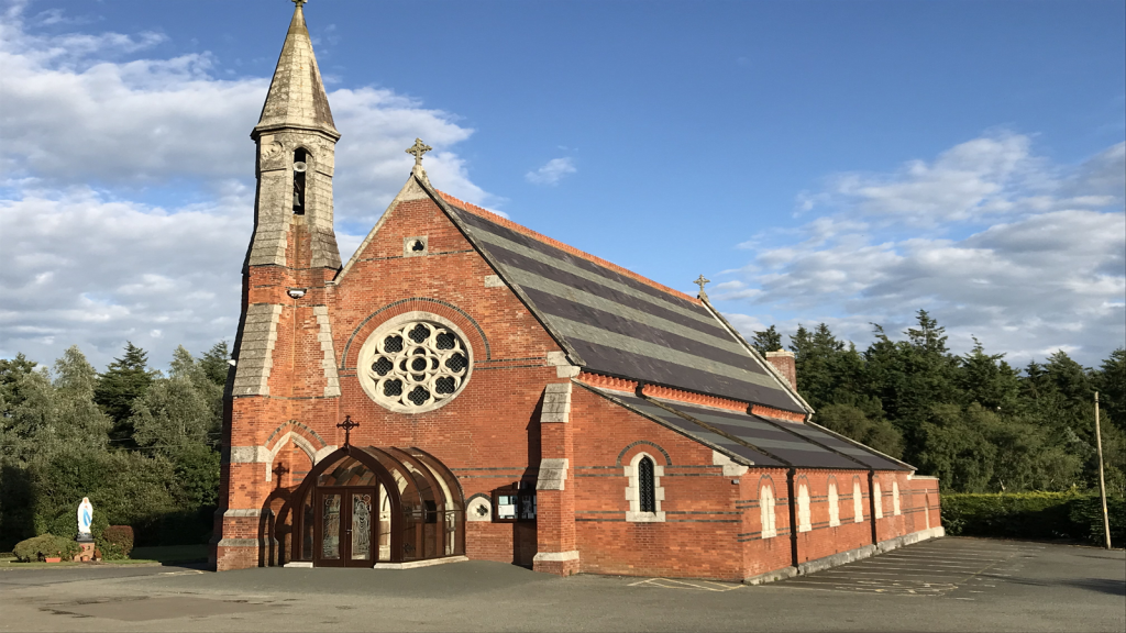
Add your own picture and explain the route, parking, gates, paths or landmarks that help people find it.
Earn 5 points after the picture is checked and accepted.
Add your photo and local directionsShare what you foundWhat is recorded here
Marked on the 1839 and 1925 eds of the OS 6-inch map and described in gothic lettering on both as Brecaun Church. Brecaun is a Welsh saint, and is the father of Dubhán, after whom the peninsula was named Rinn Dubháin Ailithir – the promontory of Dubhán, pilgrim (Redmond 1898, 20-1). Brecaun was also the father of Alloch, associated with Templetown (WX049-008001-) (Culleton 1999, 129). The church is situated at the edge of a low clay cliff (H c. 5m) on the E side of the low-lying and narrow part (L c. 4.5km NE-SW; Wth c. 600m-1.5km NW-SE) of Hook peninsula.
The W gable (ext. L 4.55m) with a segmental arched doorway (Wth 1m; H 1.75m) and part of the N wall (ext. L 9.1m; max. H 1.75-1.95m) are extant, although c. 1900 the E gable with a small window survived (Hore 1900-11, vol. 4, 352-3). Fragments of an ogham stone were found in 1845 on the shore below the church (Barry1896, 127-8), and c. 1930 another fragment was found which enabled Macalister (1930, 54-5) to read the inscription as: SEDAN [1 MAQQI CAT]TABGBOTT AVVI DERCMASOC. He describes the stone as ‘3 ft. 10 ½ inches, by 1 ft. by 8 inches thick’ (c. 1.18m x c. 0.3m x c. 0.2m), and it is now in NMI. In the mythological history of early Ireland Derc Masoc was a son of Cathair Mór, who was said to have been one of the first kings to have ruled all of Ireland. Derc Masoc was the progenitor of Uí Deirc Mosaig, the ruling family of Ath Cliath Cualann, or the Dublin area.
Archaeological excavation in 1987 found the final missing piece of the ogham stone and also revealed that the present structure was built on the foundations of an older church. However, the later W wall is c. 3m further W than the original, unmortared W wall, whose doorway was also in the W wall. No burials were recovered in the excavation, but evidence of an enclosing ditch feature is confirmed in a fosse (Wth c. 2m) partly excavated c. 12m WSW of the church (Breen 1987). This feature (Wth c. 3m; D c. 0.8m) can also be seen in the cliff-face c. 25m N of the church. Although no burials were recovered in excavation a small granite cross (H 0. 0.39m; Wth 0.32m) with a square cross-section (dims 0.1m x 0.1m) had been moved from the church to the graveyard at Churchtown (WX054-009002-) c. 1900 (Colfer 1978, 13-4). There is an incised cross (H 0.21m; Wth 0.11m) with expanded terminals on one face of this cross, which is probably 18th century in date, but this is the only physical evidence of a graveyard at St. Brecaun’s church.
The above description is derived from the published 'Archaeological Inventory of County Wexford' (Dublin: Stationery Office, 1996). In certain instances the entries have been revised and updated in the light of recent research.
Compiled by: Michael Moore
Date of upload/revision: 31 March, 2014
The monument record does not grant public access. Check the route and ask the landowner before entering private land.