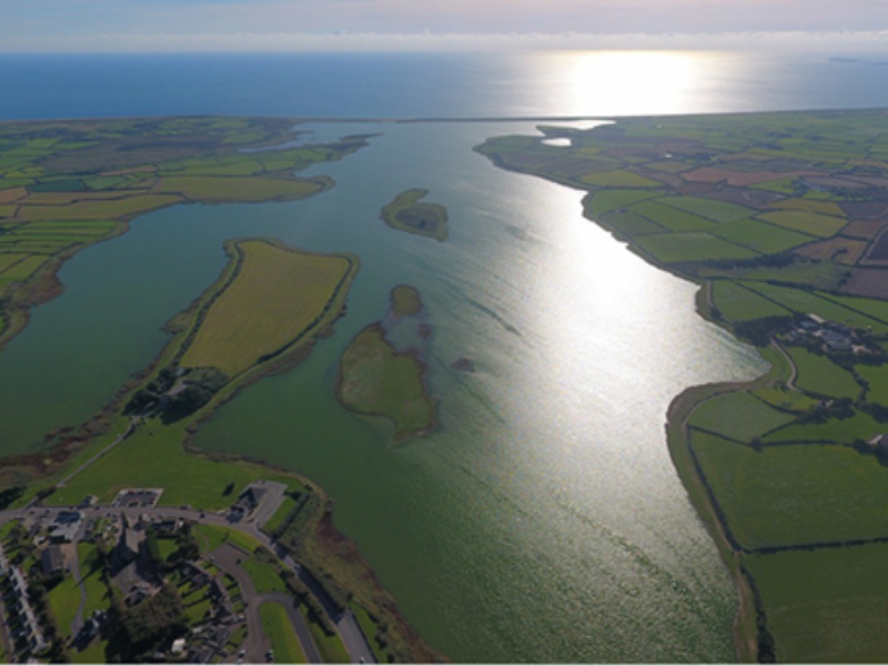
Add your own picture and explain the route, parking, gates, paths or landmarks that help people find it.
Earn 5 points after the picture is checked and accepted.
Add your photo and local directionsShare what you foundWhat is recorded here
This well is not marked on the 1839 ed. of the OS 6-inch map and is not mentioned by John O’Donovan writing c. 1840 (O’Flanagan 1933), so it may be a modern feature created for the pilgrimage. The well is cut into the natural scarp (H c. 1m), which is now stone-clad at this point, forming the W side of Lady's Island. The stone-lined well is rectangular (dims 0.6m x 0.7m) with a lintel (L 0.8m; T 0.1m) across the opening (H over the water 0.25m). On top of the lintel is a trough (ext. dims 0.5m x 0.42m; int. dims 0.4m x 0.35m; D 0.1m) made of coarse cement. The trough is set on its side with offerings placed in it. The burnt mound (WX053-061----) was found in the vicinity of the well.
Compiled by: Michael Moore
Date of upload: 25 March, 2014
The monument record does not grant public access. Check the route and ask the landowner before entering private land.